File:AyrAllowayMap.jpg

Size of this preview: 800 × 507 pixels. Other resolutions: 320 × 203 pixels | 1,285 × 815 pixels.
Original file (1,285 × 815 pixels, file size: 199 KB, MIME type: image/jpeg)
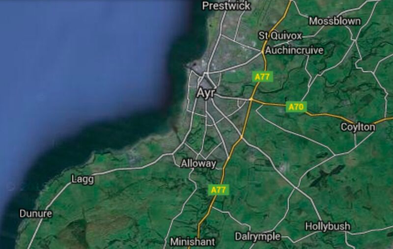
Google map of vicinity of bridge across river Doon (B7024 Ayr KA7, UK, coordinates: 55.42693, -4.63815), used by Tam O Shenter to escape from trolls (according to Robert Burns)
References
File history
Click on a date/time to view the file as it appeared at that time.
| Date/Time | Thumbnail | Dimensions | User | Comment | |
|---|---|---|---|---|---|
| current | 06:10, 1 December 2018 | | 1,285 × 815 (199 KB) | Maintenance script (talk | contribs) | Importing image file |
- You cannot overwrite this file.
File usage
The following page links to this file: