File:FSOmap1.jpg
Size of this preview: 800 × 467 pixels. Other resolutions: 320 × 187 pixels | 1,854 × 1,083 pixels.
Original file (1,854 × 1,083 pixels, file size: 222 KB, MIME type: image/jpeg)
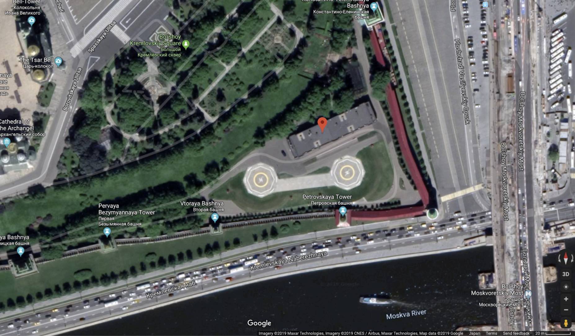
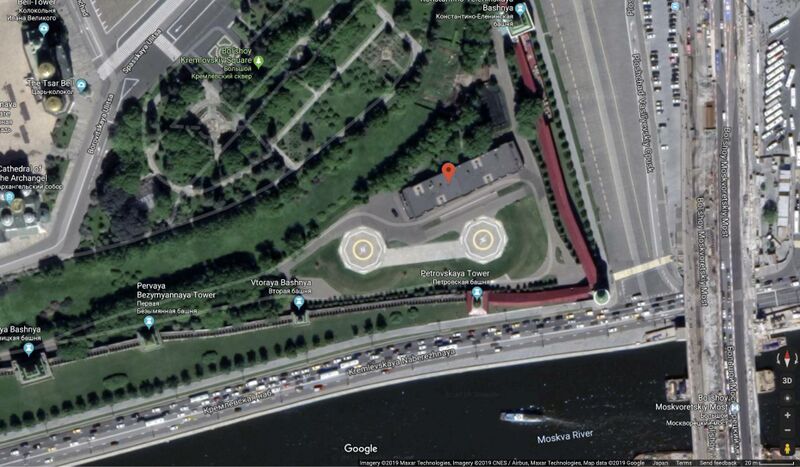
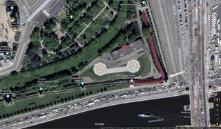
ФСО, один из филиалов российской опричнины, КГБ, в 21м веке.
109012 Кремль-9, Москва.
Coordinates:
55.75032, 37.62181
In the bottom right part, the Nemtsov bridge is seen.
В правой нижней части изображения показан Немцов мост. На этом мосту, судя по сообщениям, Путин убил Немцова.
References
File history
Click on a date/time to view the file as it appeared at that time.
| Date/Time | Thumbnail | Dimensions | User | Comment | |
|---|---|---|---|---|---|
| current | 21:52, 4 October 2019 | | 1,854 × 1,083 (222 KB) | T (talk | contribs) |
- You cannot overwrite this file.
File usage
The following page links to this file: