File:PetrogradskiSudMapia.jpg

Size of this preview: 800 × 560 pixels. Other resolutions: 320 × 224 pixels | 1,502 × 1,052 pixels.
Original file (1,502 × 1,052 pixels, file size: 307 KB, MIME type: image/jpeg)
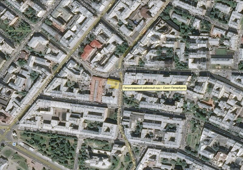
Map [1] of the Петроградский суд [2] (ПЕТРОГРАДСКИЙ РАЙОННЫЙ СУД ГОРОДА САНКТ-ПЕТЕРБУРГА).
Address: Петербург, ул.Съезжинская, д.9/6
Coordinates: 59.95380 30.29629
References
- ↑ http://wikimapia.org/#lang=ru&lat=59.953796&lon=30.296291&z=17&m=bh
- ↑ http://pgr.spb.sudrf.ru/modules.php?name=info_court&rid=2 ПЕТРОГРАДСКИЙ РАЙОННЫЙ СУД ГОРОДА САНКТ-ПЕТЕРБУРГА (2020) 197198, г. Санкт-Петербург, ул. Съезжинская, д. 9/6. .. опубликовано 12.03.2014 18:55 (МСК), изменено 18.12.2019 12:06 (МСК)
File history
Click on a date/time to view the file as it appeared at that time.
| Date/Time | Thumbnail | Dimensions | User | Comment | |
|---|---|---|---|---|---|
| current | 20:25, 24 January 2020 | | 1,502 × 1,052 (307 KB) | T (talk | contribs) |
- You cannot overwrite this file.
File usage
The following page links to this file: