File:RoskomnadzorMap.png
Size of this preview: 630 × 600 pixels. Other resolutions: 252 × 240 pixels | 1,180 × 1,123 pixels.
Original file (1,180 × 1,123 pixels, file size: 1.8 MB, MIME type: image/png)
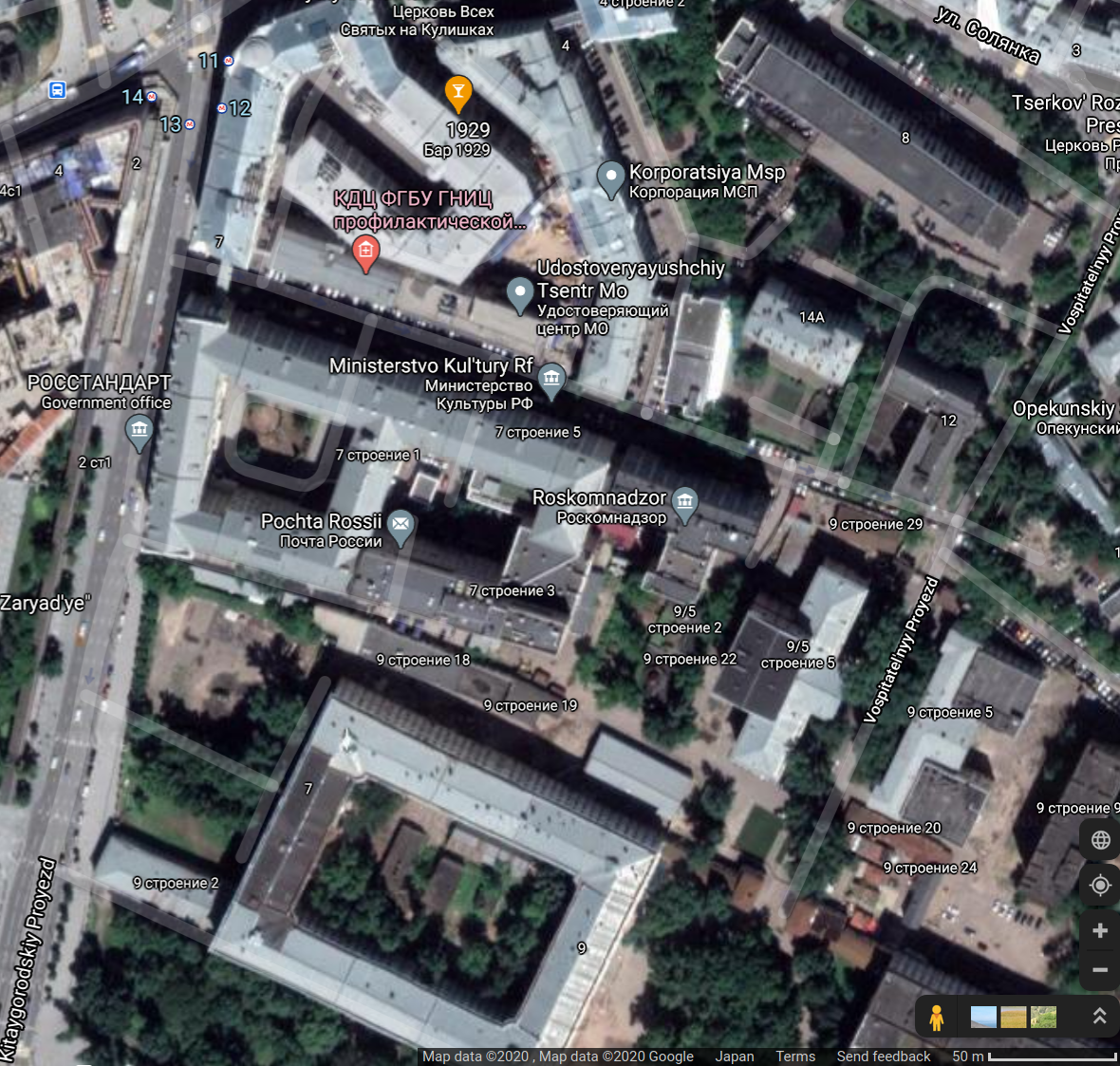
Map [1] of Roskomnadzor, 2020.
Address:
Kitaygorodskiy Proyezd, 7, стр. 2, Moscow, Russia, 109074
Китайгородский пр-д, 7, стр. 2, Москва, 109074
Coordinates: 55.75160, 37.63654
References
File history
Click on a date/time to view the file as it appeared at that time.
| Date/Time | Thumbnail | Dimensions | User | Comment | |
|---|---|---|---|---|---|
| current | 13:25, 16 October 2020 | | 1,180 × 1,123 (1.8 MB) | T (talk | contribs) |
- You cannot overwrite this file.
File usage
The following page links to this file: