File:KibigaraYamaMap01.png
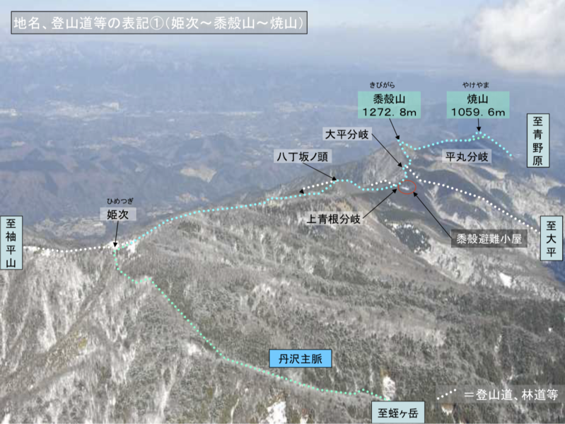
Size of this preview: 799 × 599 pixels. Other resolutions: 320 × 240 pixels | 1,261 × 946 pixels.
Original file (1,261 × 946 pixels, file size: 1.54 MB, MIME type: image/png)
Summary
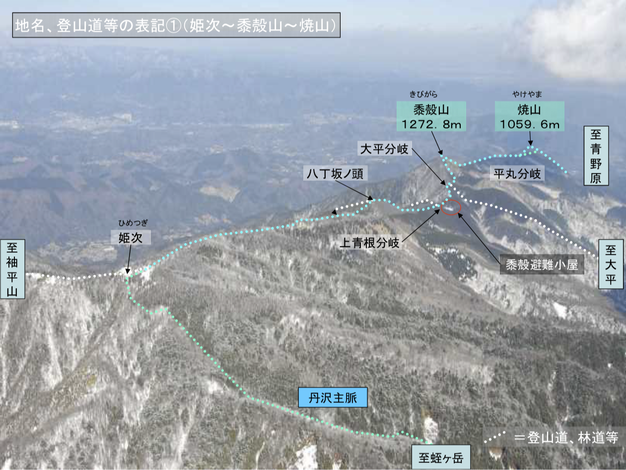
Aerial view on mount Kibigara and vicinity.
Image by Kanagawa Police [1]
References
- ↑ https://www.police.pref.kanagawa.jp/pdf/g0005_08.pdf 丹沢主脈 (姫次~黍殻山~焼山)
File history
Click on a date/time to view the file as it appeared at that time.
| Date/Time | Thumbnail | Dimensions | User | Comment | |
|---|---|---|---|---|---|
| current | 15:33, 4 August 2021 | | 1,261 × 946 (1.54 MB) | T (talk | contribs) | Aerial view on mount Kibigara and vicinity. Image by Kanagawa Police <ref> https://www.police.pref.kanagawa.jp/pdf/g0005_08.pdf 丹沢主脈 (姫次~黍殻山~焼山) </ref> ==References== <references/> Category:Japan Category:Kibigara [[Cat... |
- You cannot overwrite this file.
File usage
There are no pages that link to this file.