File:KukaMap.png
Size of this preview: 800 × 500 pixels. Other resolutions: 320 × 200 pixels | 1,437 × 898 pixels.
Original file (1,437 × 898 pixels, file size: 1.87 MB, MIME type: image/png)
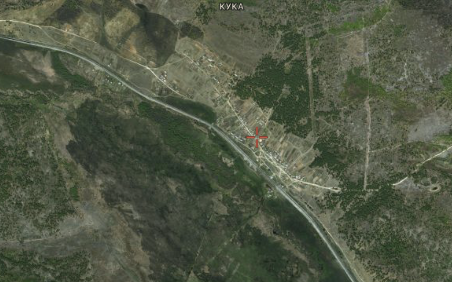
Кука, посёлок в Забайаклье, упоминаемый в связи с расстрелом 2019.10.25 в Вч 54160 (среди прочих убитых, упомянут Ковалёв Роман Александрович из Куки).
Address: not available
Coordinates: 51.79508,112.93134
References
File history
Click on a date/time to view the file as it appeared at that time.
| Date/Time | Thumbnail | Dimensions | User | Comment | |
|---|---|---|---|---|---|
| current | 14:06, 19 November 2019 | | 1,437 × 898 (1.87 MB) | T (talk | contribs) |
- You cannot overwrite this file.
File usage
There are no pages that link to this file.