File:LopNurCrossMap.jpg

Size of this preview: 800 × 452 pixels. Other resolutions: 320 × 181 pixels | 1,897 × 1,072 pixels.
Original file (1,897 × 1,072 pixels, file size: 436 KB, MIME type: image/jpeg)
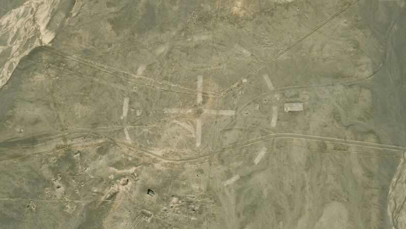
Lop Nur Above ground test area, map from 2020.05.25 [1] Coordinates: 40.78668,89.72624
Diameter of the dashes circle at the ground is approximately 300 meter.
References
File history
Click on a date/time to view the file as it appeared at that time.
| Date/Time | Thumbnail | Dimensions | User | Comment | |
|---|---|---|---|---|---|
| current | 07:16, 25 May 2020 | | 1,897 × 1,072 (436 KB) | T (talk | contribs) |
- You cannot overwrite this file.
File usage
The following page links to this file: