File:NeberdjaeKrymsk.jpg

Size of this preview: 703 × 600 pixels. Other resolutions: 281 × 240 pixels | 1,084 × 925 pixels.
Original file (1,084 × 925 pixels, file size: 220 KB, MIME type: image/jpeg)
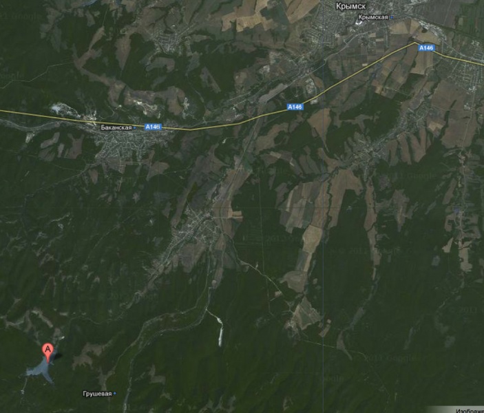
Comparison size of the Neberdjaevskoe lake (I km maximal size) to that of the town Krymsk reported to be washed-out by the big tsunami wave, see 2012.07.07.Tsunami
44.781111,37.821389(Неберджаевское водохранилище)
is marked with "A". The town Krymsk is at the upper right side.
File history
Click on a date/time to view the file as it appeared at that time.
| Date/Time | Thumbnail | Dimensions | User | Comment | |
|---|---|---|---|---|---|
| current | 17:50, 20 June 2013 | | 1,084 × 925 (220 KB) | Maintenance script (talk | contribs) | Importing image file |
- You cannot overwrite this file.
File usage
The following page links to this file: