File:NerimaSityMap.jpg
Size of this preview: 643 × 599 pixels. Other resolutions: 258 × 240 pixels | 854 × 796 pixels.
Original file (854 × 796 pixels, file size: 177 KB, MIME type: image/jpeg)
File history
Click on a date/time to view the file as it appeared at that time.
| Date/Time | Thumbnail | Dimensions | User | Comment | |
|---|---|---|---|---|---|
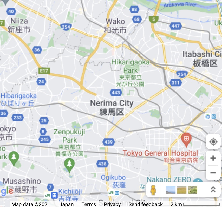
| current | 17:57, 13 July 2021 | | 854 × 796 (177 KB) | T (talk | contribs) | 練馬区. Map of Nerima city and vicinity <ref> https://www.google.com/maps/@35.7720669,139.5463016,12.08z </ref> ==References== <references/> Category:Horse Category:Japan Category:Japanese Category:Kanji Category:Map [... |
- You cannot overwrite this file.