File:Nippon02.jpg
Size of this preview: 501 × 599 pixels. Other resolutions: 201 × 240 pixels | 2,040 × 2,440 pixels.
Original file (2,040 × 2,440 pixels, file size: 429 KB, MIME type: image/jpeg)
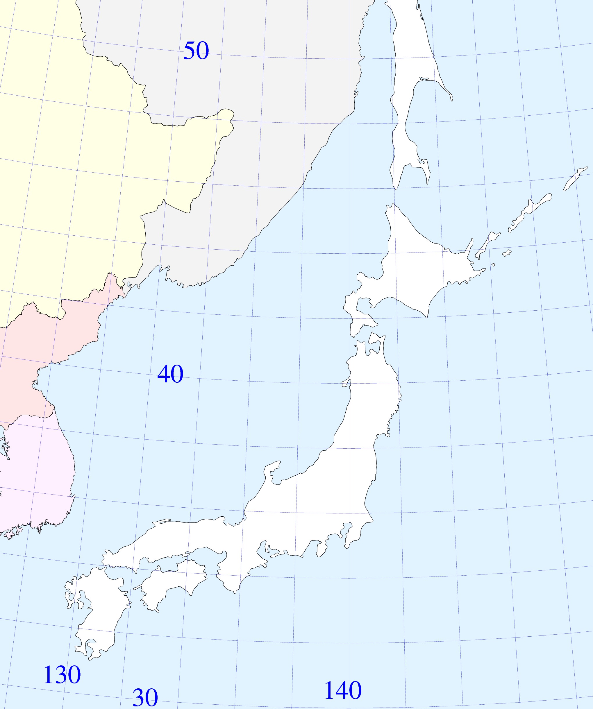
Contour Map of main part of Japan and vicinities. Such maps are expected to be used as bases for the graphical representation of the geophysical research in TORI.
The following relation between the geographic coordinates $\alpha,\delta$ and the cartesian coordinates $x,y$ at the screen is used:
- $\rm Degree=\pi/180$
- $\alpha_0=40~ \rm Degree$
- $\delta_0=140~ \rm Degree$
- $c=\cos(\alpha_0)$
- $\rho=\cos(\alpha_0)/\sin(\alpha_0)$
- $r=\rho-(\alpha\!-\!\alpha_0)$
- $\varphi=(c/\rho) (\delta\!-\!\delta_0)$
- $x=r \sin(\varphi)$
- $y=\rho-r \cos(\varphi)$
The figure is generated with code nippon02.cc
Copyleft 2011 by Dmitrii Kouznetsov.
File history
Click on a date/time to view the file as it appeared at that time.
| Date/Time | Thumbnail | Dimensions | User | Comment | |
|---|---|---|---|---|---|
| current | 17:50, 20 June 2013 | | 2,040 × 2,440 (429 KB) | Maintenance script (talk | contribs) | Importing image file |
- You cannot overwrite this file.
File usage
The following 2 pages link to this file: