File:TanzawaNEtrailheadMap.jpg
Size of this preview: 800 × 459 pixels. Other resolutions: 320 × 183 pixels | 1,921 × 1,101 pixels.
Original file (1,921 × 1,101 pixels, file size: 973 KB, MIME type: image/jpeg)
Summary
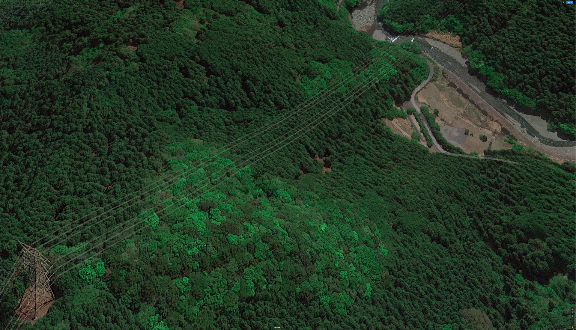
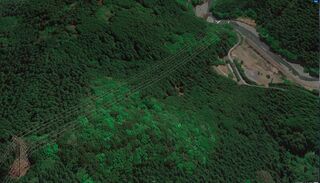
Aerial view on the trailhead of the way to Tanzawa from Notrh-East, from road 70, by Google, 2020. [1].
In year 2020, the hike begins at the upper part of the picture, from the place where the road is closed.
References
File history
Click on a date/time to view the file as it appeared at that time.
| Date/Time | Thumbnail | Dimensions | User | Comment | |
|---|---|---|---|---|---|
| current | 21:00, 25 January 2021 | | 1,921 × 1,101 (973 KB) | T (talk | contribs) | Aerial view on the trailhead of the way to Tanzawa from Notrh-East, from road 70, by Google, 2020. <ref> https://www.google.com/maps/search/Yoshibata/@35.489376,139.2129427,387a,35y,116.54h,29.06t/data=!3m1!1e3?hl=en </ref>. In year 2020, the hike... |
- You cannot overwrite this file.
File usage
The following page links to this file: