Difference between revisions of "File:KirpichnayaBoderPatrolStorageMap.jpg"
| Line 1: | Line 1: | ||
| + | Map <ref> |
||
| + | https://www.google.com/maps/place/Reka+Khalaktyrka/@53.0306663,158.7261226,520m/data=!3m1!1e3!4m5!3m4!1s0x58e19a5709e49abb:0x5150c1bb7f34be15!8m2!3d53.00133!4d158.7618219?hl=en |
||
| + | </ref> |
||
| + | of the storage bog the Russian border partol |
||
| + | at river [[Kirpichnaya]]. |
||
| + | |||
| + | Coordinates: |
||
| + | |||
| + | 53.03053, 158.72696 |
||
| + | |||
| + | This organization is suspected to contribute in the contamination, |
||
| + | caused the |
||
| + | [[2020.10.01.Kamchatka disaster]] |
||
| + | |||
| + | ==References== |
||
| + | <references/> |
||
| + | |||
| + | |||
| + | [[Category:2020.10.01.Kamchatka disaster]] |
||
| + | [[Category:Corruption]] |
||
| + | [[Category:Designate Russia as state sponsor of terrorism]] |
||
| + | [[Category:Kamchatka]] |
||
| + | [[Category:Kirpichnaya]] |
||
| + | [[Category:Map]] |
||
| + | [[Category:Pahanat]] |
||
| + | [[Category:Putin world war]] |
||
| + | [[Category:Russia]] |
||
| + | [[Category:Target]] |
||
| + | [[Category:Terror]] |
||
| + | [[Category:Usurpation]] |
||
Revision as of 20:12, 13 October 2020
Map [1] of the storage bog the Russian border partol at river Kirpichnaya.
Coordinates:
53.03053, 158.72696
This organization is suspected to contribute in the contamination, caused the 2020.10.01.Kamchatka disaster
References
File history
Click on a date/time to view the file as it appeared at that time.
| Date/Time | Thumbnail | Dimensions | User | Comment | |
|---|---|---|---|---|---|
| current | 20:11, 13 October 2020 | 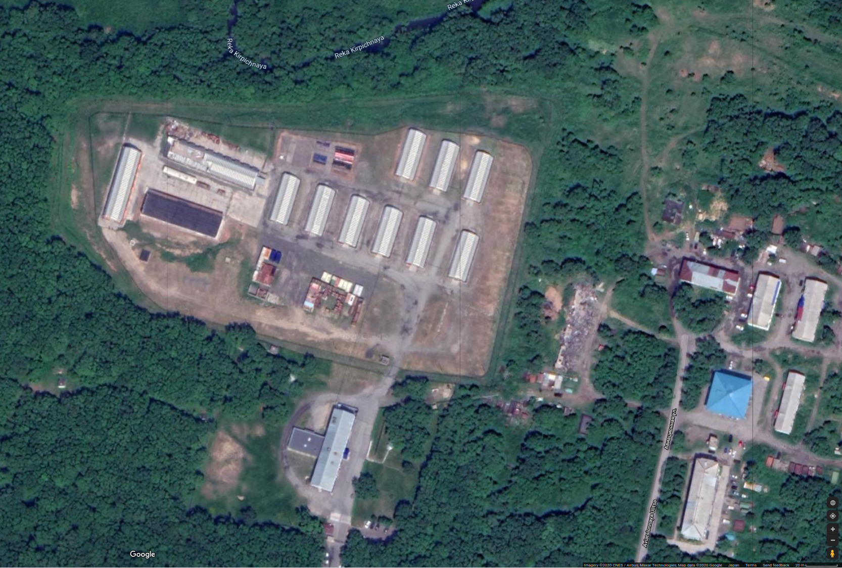 | 1,666 × 1,124 (535 KB) | T (talk | contribs) |
- You cannot overwrite this file.
File usage
There are no pages that link to this file.