Difference between revisions of "File:Vh2151mapia.jpg"
| Line 1: | Line 1: | ||
| + | Map <ref> |
||
| + | https://wikimapia.org/#lang=en&lat=53.189168&lon=158.358221&z=14&m=w&search=53.181715%2C 158.362454 |
||
| + | </ref> |
||
| + | of [[vh2157]] ([[Вч 2175]]) at Kamchatka. |
||
| + | |||
| + | Coordinates: 53.18917, 158.35822 |
||
| + | ==References== |
||
| + | <references/> |
||
| + | |||
| + | [[Category:2020.10.01.Kamchatka disaster]] |
||
| + | [[Category:Chemical weapon]] |
||
| + | [[Category:Contamination]] |
||
| + | [[Category:Corruption]] |
||
| + | [[Category:Hague]] |
||
| + | [[Category:Kamchatka]] |
||
| + | [[Category:Melnikov Sergei Aleksandrovich]] |
||
| + | [[Category:Nuremberg-2]] |
||
| + | [[Category:Heptyl]] |
||
| + | [[Category:Pahanat]] |
||
| + | [[Category:vh2157]] |
||
Latest revision as of 11:35, 21 October 2020
File history
Click on a date/time to view the file as it appeared at that time.
| Date/Time | Thumbnail | Dimensions | User | Comment | |
|---|---|---|---|---|---|
| current | 11:35, 21 October 2020 | 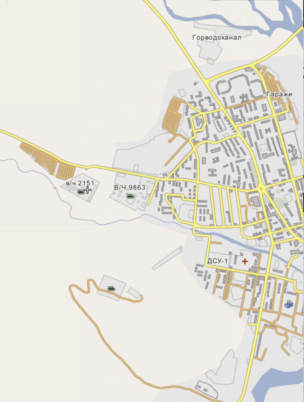 | 1,194 × 1,580 (123 KB) | T (talk | contribs) |
- You cannot overwrite this file.
File usage
The following page links to this file: