Difference between revisions of "File:ZavodDzerjinskogoMap.jpg"
| Line 1: | Line 1: | ||
| + | [[Завод Дзержинского]], map. |
||
| + | |||
| + | Address: 614990, г. Пермь, ГСП, ул. Дзержинского, 1 (Marked with red) |
||
| + | |||
| + | Coordinates: 58.01238, 56.19489 |
||
| + | |||
| + | ==References== |
||
| + | <references/> |
||
| + | https://www.google.com/maps/place/Ulitsa+Dzerzhinskogo,+1,+Perm,+Permskiy+kray,+Russia,+614068/@58.0121889,56.194585,667m/data=!3m1!1e3!4m5!3m4!1s0x43e8c76ad3c7d399:0x7bf86bb4d8d82804!8m2!3d58.010085!4d56.192657 |
||
| + | |||
| + | [[Category:Collapse of RF]] |
||
| + | [[Category:Coruption]] |
||
| + | [[Category:Designate Russia as state sponsor of terrorism]] |
||
| + | [[Category:Dzerjinski Feliks Edmundovich]] |
||
| + | [[Category:Pahanat]] |
||
| + | [[Category:Perm]] |
||
| + | [[Category:Putin world war]] |
||
| + | [[Category:Russia]] |
||
| + | [[Category:Russian]] |
||
| + | [[Category:Террор]] |
||
| + | [[Category:Zavod Dzerjinskogo]] |
||
Latest revision as of 04:56, 10 November 2019
Завод Дзержинского, map.
Address: 614990, г. Пермь, ГСП, ул. Дзержинского, 1 (Marked with red)
Coordinates: 58.01238, 56.19489
References
File history
Click on a date/time to view the file as it appeared at that time.
| Date/Time | Thumbnail | Dimensions | User | Comment | |
|---|---|---|---|---|---|
| current | 04:56, 10 November 2019 | 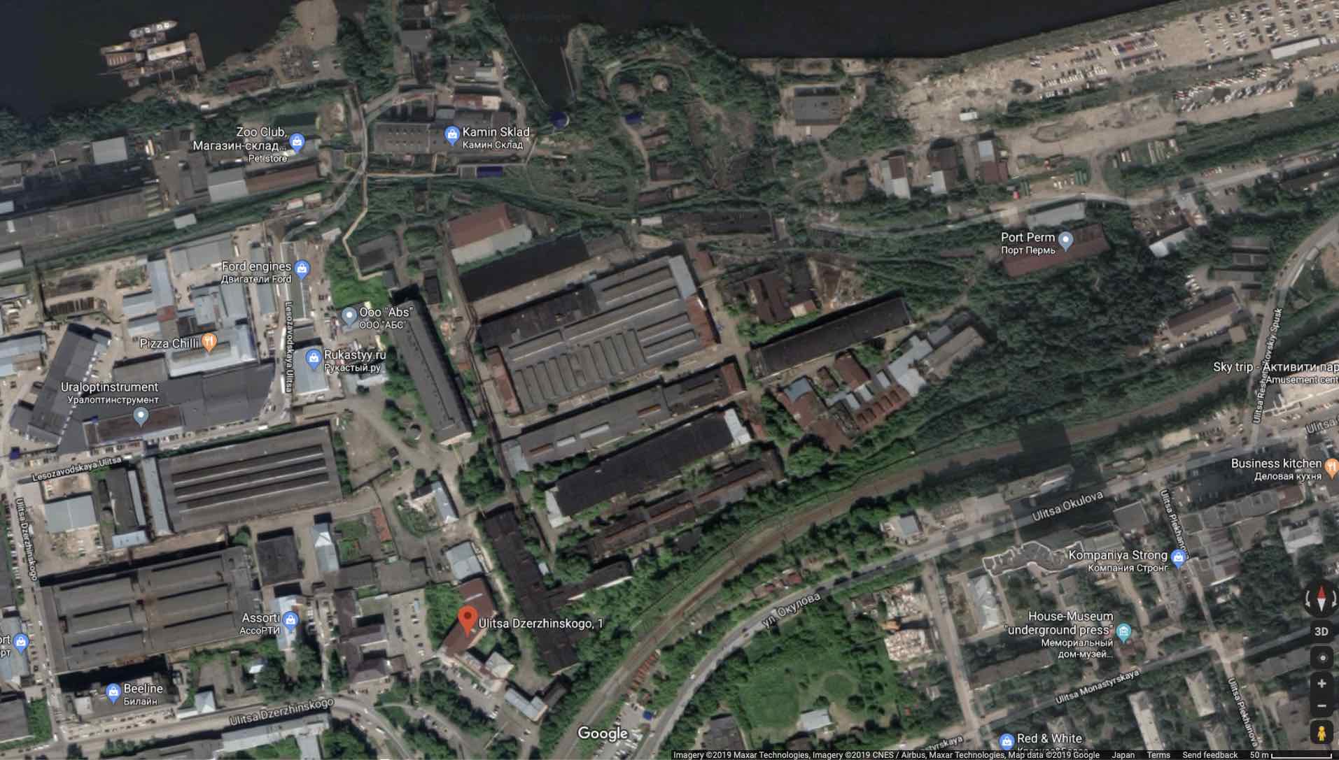 | 1,913 × 1,087 (165 KB) | T (talk | contribs) |
- You cannot overwrite this file.
File usage
The following page links to this file: