File:KhanskayaAirbaseGateView.jpg
Original file (1,920 × 636 pixels, file size: 164 KB, MIME type: image/jpeg)
Summary
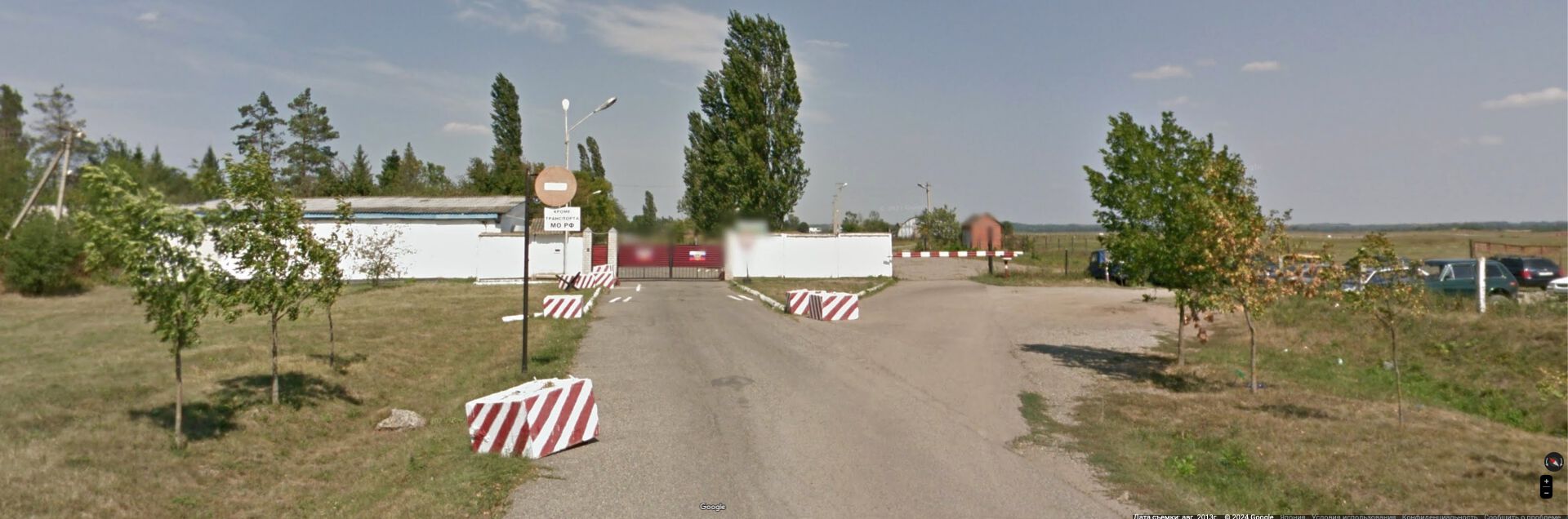
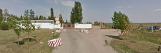
«Кроме транспорта МО РФ».
Khanskaya Airbase (Maykop Airbase) gate, view by Google [1]
Coordinates: 44.67245,40.01815
Address: Майкоп Республика Адыгея, Россия 44.672469, 40.018142
References
- ↑ https://www.google.co.jp/maps/@44.6715777,40.016931,3a,75y,314.84h,90t/data=!3m7!1e1!3m5!1sGHNt5UjosIVkGt1maQujSA!2e0!6shttps:%2F%2Fstreetviewpixels-pa.googleapis.com%2Fv1%2Fthumbnail%3Fpanoid%3DGHNt5UjosIVkGt1maQujSA%26cb_client%3Dmaps_sv.tactile.gps%26w%3D203%26h%3D100%26yaw%3D314.83655%26pitch%3D0%26thumbfov%3D100!7i13312!8i6656?hl=ru&coh=205409&entry=ttu&g_ep=EgoyMDI0MTAwOC4wIKXMDSoASAFQAw%3D%3D Coordinates: 44.67245,40.01815 Address: Майкоп Республика Адыгея, Россия 44.672469, 40.018142
https://en.wikipedia.org/wiki/Khanskaya_(air_base) Khanskaya (ICAO: URKH) is a Russian Aerospace Forces air base located on the north-west of Maykop, Russia. The airport was used also for civil aviation up to 2009. // The base is home to the 761st Training Aviation Regiment which flies the Aero L-39C Albatros under the 783rd Aviation Training Centre for the Training of Flight Personnel.[1]// The regiment moved here during 1991.[2]// As of October 2024 Khanskaya air base was reportedly home to the 272nd Training Aviation Regiment.[3]// NASA's FIRMS detected fire at Khanskaya air base on 9 October 2024 23:24:00 (UTC) On 10 October 2024, a Ukranian drone attack targeted the Khanskaya airbase causing a fire detected by NASA's FIRMS.[3]
Keywords
«Khanskaya Airbase», «Demilitarization», «Denazification», «[[]]», «Legitimate military target», «[[]]», «Maykop», «Moscovia», «Putin world war», «Russian invasion into Ukraine», «Russki mir», «Transfer of hostilities to aggressor territory», «[[]]»,
File history
Click on a date/time to view the file as it appeared at that time.
| Date/Time | Thumbnail | Dimensions | User | Comment | |
|---|---|---|---|---|---|
| current | 05:55, 14 October 2024 | 1,920 × 636 (164 KB) | T (talk | contribs) | == Summary == {{oq|KhanskayaAirbaseGateView.jpg|}} «Кроме транспорта МО РФ». Khanskaya Airbase (Maykop Airbase) gate, view by Google <ref> https://www.google.co.jp/maps/@44.6715777,40.016931,3a,75y,314.84h,90t/data=!3m7!1e1!3m5!1sGHNt5UjosIVkGt1maQujSA!2e0!6shttps:%2F%2Fstreetviewpixels-pa.googleapis.com%2Fv1%2Fthumbnail%3Fpanoid%3DGHNt5UjosIVkGt1maQujSA%26cb_client%3Dmaps_sv.tactile.gps%26w%3D203%26h%3D100%26yaw%3D314.83655%26pitch%3D0%26thumbfov%3D100!7i13312!8i6656?hl=ru&coh=... |
You cannot overwrite this file.
File usage
The following page uses this file: