File:KozachaBuhtaMapiaAerialFromSouth56.jpg
No higher resolution available.
KozachaBuhtaMapiaAerialFromSouth56.jpg (782 × 588 pixels, file size: 188 KB, MIME type: image/jpeg)
Summary
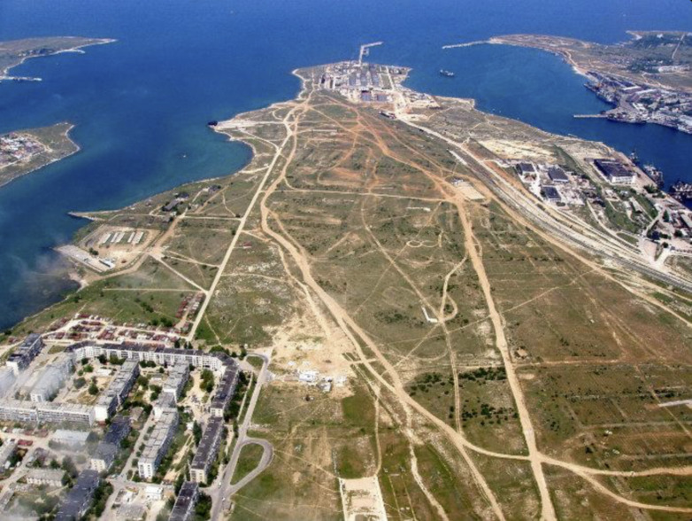
Kozacha Buhta fuel base by Wikimapia [1], aerial view from South].
The honest use is assumed.
References
File history
Click on a date/time to view the file as it appeared at that time.
| Date/Time | Thumbnail | Dimensions | User | Comment | |
|---|---|---|---|---|---|
| current | 01:30, 4 May 2023 | | 782 × 588 (188 KB) | T (talk | contribs) | <div style="margin:-18px -14px 0px -200px; background-color:#fff"> <div style="margin:0px 0px 0px 30px; line-height:1.2em"><br> Kozacha Buhta fuel base by Wikimapia <ref> 2011 http://wikimapia.org/10924329/Kazachya-Cossack-bay#/photo/1604494 [[Koza... |
- You cannot overwrite this file.
File usage
The following page links to this file: