File:NarofominskUkraineMap.jpg
Size of this preview: 568 × 599 pixels. Other resolutions: 227 × 240 pixels | 929 × 980 pixels.
Original file (929 × 980 pixels, file size: 137 KB, MIME type: image/jpeg)
Summary
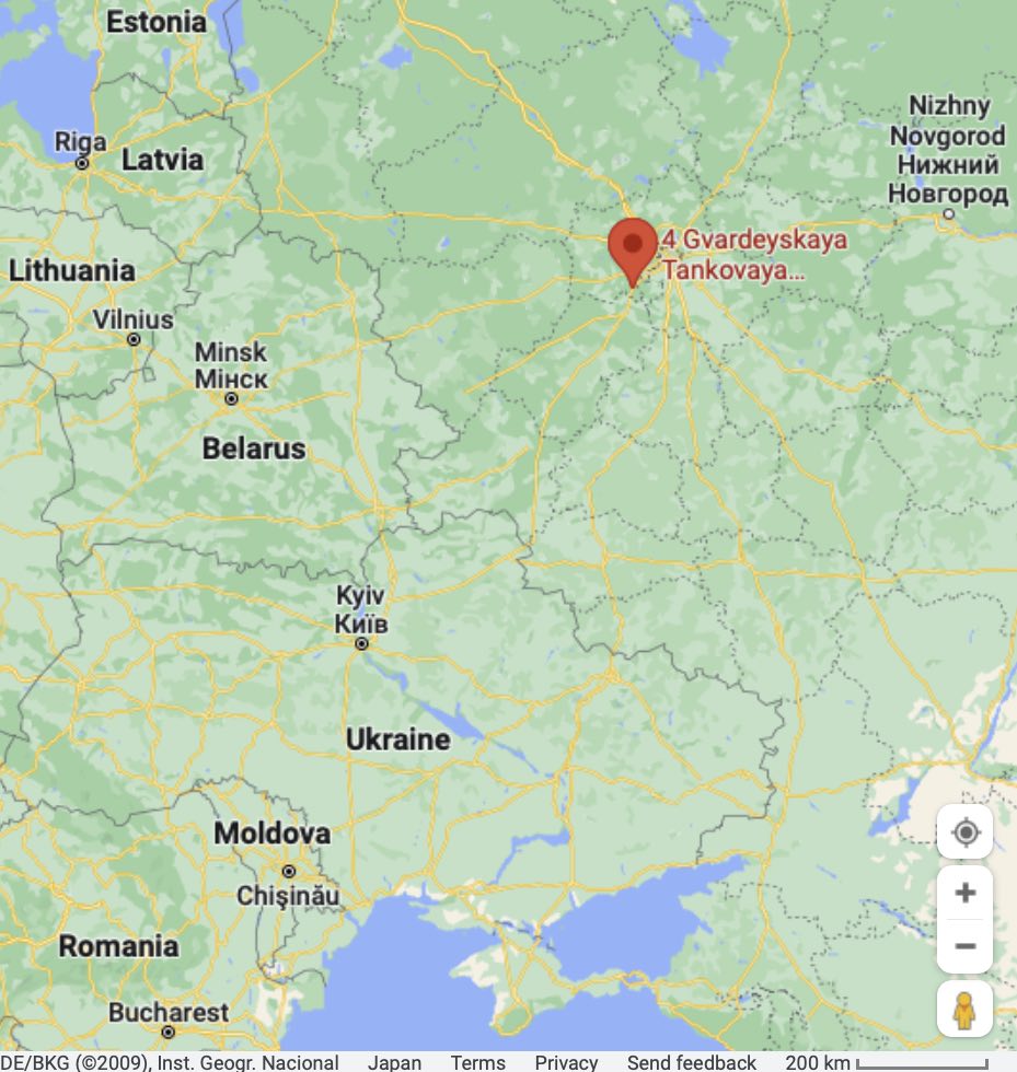
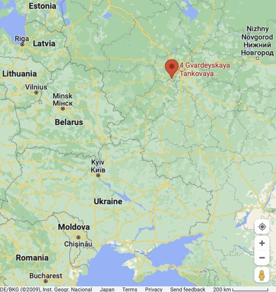
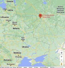
Narofominsk (red mark)(military object used in aggression against Ukraine) and Ukraine at the Google map [1]
References
- ↑ https://www.google.com/maps/place/4+Gvardeyskaya+Tankovaya+Kantemirovskaya+Diviziya/@52.9313161,29.8712525,4.82z/data=!4m5!3m4!1s0x46caba0ce0f53953:0xe080f235794d9938!8m2!3d55.404231!4d36.739172 4 Гвардейская Танковая Кантемировская Дивизия Unnamed Road, 143302, Naro-Fominsk, Moscow Oblast, Russia, 143302 Unnamed Road, 143302, Наро-Фоминск, Московская обл., 143302
,
File history
Click on a date/time to view the file as it appeared at that time.
| Date/Time | Thumbnail | Dimensions | User | Comment | |
|---|---|---|---|---|---|
| current | 17:51, 24 December 2022 | | 929 × 980 (137 KB) | T (talk | contribs) | == Summary == Narofominsk (red mark)(military object used in aggression against Ukraine) and Ukraine at the Google map <ref> https://www.google.com/maps/place/4+Gvardeyskaya+Tankovaya+Kantemirovskaya+Diviziya/@52.9313161,29.8712525,4.82z/data=!4m5!3m4... |
- You cannot overwrite this file.
File usage
The following page links to this file: