File:Vh91701map2.jpg
Size of this preview: 556 × 600 pixels. Other resolutions: 223 × 240 pixels | 1,199 × 1,293 pixels.
Original file (1,199 × 1,293 pixels, file size: 637 KB, MIME type: image/jpeg)
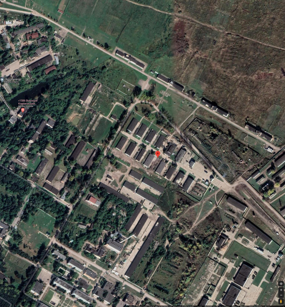
Summary
Coordinates: 55.41312, 36.73682
Address:
Unnamed Road, 143302, Наро-Фоминск, Московская обл.,
4 Гвардейская Танковая Кантемировская Дивизия,
423-й гвардейский мотострелковый Ямпольский Краснознамённый, орденов Суворова и Кутузова полк — мотострелковый полк.
References
,
File history
Click on a date/time to view the file as it appeared at that time.
| Date/Time | Thumbnail | Dimensions | User | Comment | |
|---|---|---|---|---|---|
| current | 06:34, 25 February 2022 | | 1,199 × 1,293 (637 KB) | T (talk | contribs) | Vh91701 at the map <ref> https://www.google.com/maps/place/55%C2%B024'47.2%22N+36%C2%B044'12.6%22E/@55.4151749,36.7232473,1520m/data=!3m1!1e3!4m5!3m4!1s0x0:0xf708b45da0daa1eb!8m2!3d55.413121!4d36.736822 </ref> Coordinates: 55.41312, 36.73682 Addr... |
- You cannot overwrite this file.
File usage
There are no pages that link to this file.