File:YeyskAirbaseHoles.jpg
Size of this preview: 800 × 465 pixels. Other resolutions: 320 × 186 pixels | 1,906 × 1,109 pixels.
Original file (1,906 × 1,109 pixels, file size: 250 KB, MIME type: image/jpeg)
Summary
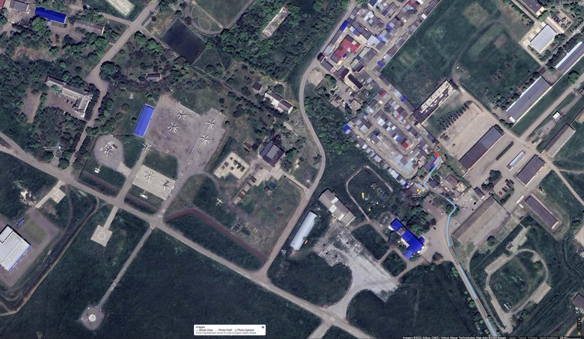
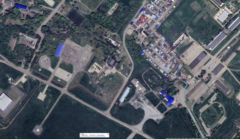
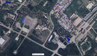
Scheme of holes in the fence at the East side of the Yeysk airbase, map for year 2022 by Google [1]
References
- ↑ https://www.google.com/maps/place/46°41'50.1%22N+38°15'10.4%22E/@46.6971947,38.2523992,241m/data=!3m1!1e3!4m5!3m4!1s0x0:0x3baaeac38a061080!8m2!3d46.6972615!4d38.2528938 46°41'50.1"N 38°15'10.4"E Ulitsa Karla Libknekhta, Yeysk, Krasnodarskiy kray, Russia, 353690 M7W3+V5R Yeysk, Krasnodar Krai, Russia
File history
Click on a date/time to view the file as it appeared at that time.
| Date/Time | Thumbnail | Dimensions | User | Comment | |
|---|---|---|---|---|---|
| current | 23:16, 20 October 2022 | | 1,906 × 1,109 (250 KB) | T (talk | contribs) | <div style="margin:-18px -14px 0px -200px; background-color:#fff"> <div style="margin:0px 0px 0px 30px; line-height:1.2em"><br> Scheme of holes in the fence at the East side of the Yeysk airbase, map for year 2022 by Google <ref> https://www.google... |
- You cannot overwrite this file.
File usage
The following page links to this file: