File:Vh14366road.jpg
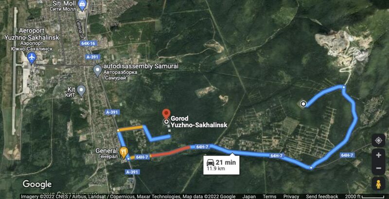
Revision as of 17:21, 27 July 2022 by T (talk | contribs) (Public road between two objects that seem to be locations of Vh14366 (Вч 14366). Image by Google <ref> https://www.google.com/maps/dir/'46.8772,142.8236'//@46.9062949,142.7259209,11815m/data=!3m1!1e3!4m9!4m8!1m5!1m1!1s0x0:0xa9bfbdc38cd12b9f...)

Size of this preview: 800 × 409 pixels. Other resolutions: 320 × 164 pixels | 1,041 × 532 pixels.
Original file (1,041 × 532 pixels, file size: 107 KB, MIME type: image/jpeg)
File history
Click on a date/time to view the file as it appeared at that time.
| Date/Time | Thumbnail | Dimensions | User | Comment | |
|---|---|---|---|---|---|
| current | 17:21, 27 July 2022 |  | 1,041 × 532 (107 KB) | T (talk | contribs) | Public road between two objects that seem to be locations of Vh14366 (Вч 14366). Image by Google <ref> https://www.google.com/maps/dir/'46.8772,142.8236'//@46.9062949,142.7259209,11815m/data=!3m1!1e3!4m9!4m8!1m5!1m1!1s0x0:0xa9bfbdc38cd12b9f... |
You cannot overwrite this file.
File usage
The following page uses this file: