File:Vh23857map.jpg
Size of this preview: 587 × 600 pixels. Other resolutions: 235 × 240 pixels | 1,054 × 1,077 pixels.
Original file (1,054 × 1,077 pixels, file size: 178 KB, MIME type: image/jpeg)
Summary
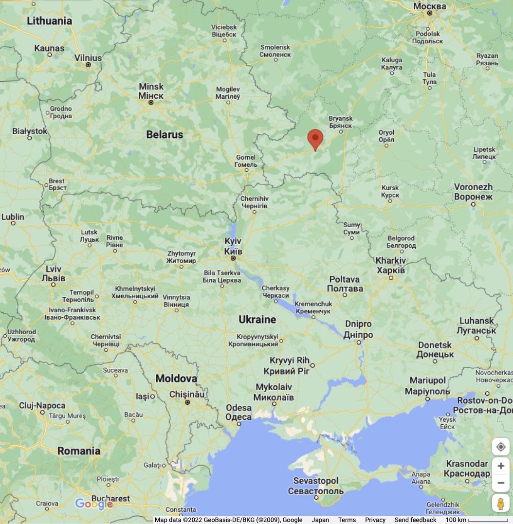
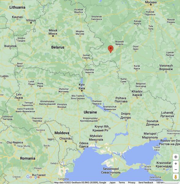
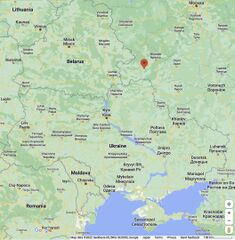
Вч 23857, оно же «садовый участок» [1] на гуглегской карте.
Address: Брянская обл., г. Почеп-2, ул. Лесная, д. 1/182
Coordinates:
52.8659,33.4790
52.8504,33.4724
References
- ↑ https://www.google.com/maps/search/+Почеп-2/@52.9254486,33.1835488,80090m/data=!3m2!1e3!4b1 Sadovyy Uchastok Садовый Участок Bryansk Oblast Russia
File history
Click on a date/time to view the file as it appeared at that time.
| Date/Time | Thumbnail | Dimensions | User | Comment | |
|---|---|---|---|---|---|
| current | 00:54, 24 September 2022 | | 1,054 × 1,077 (178 KB) | T (talk | contribs) | <div style="margin:-18px -14px 0px -200px; background-color:#fff"> <div style="margin:0px 0px 0px 30px; line-height:1.2em"><br> Вч 23857, оно же «садовый участок» <ref> https://www.google.com/maps/search/+Почеп-2/@52.92... |
- You cannot overwrite this file.
File usage
The following page links to this file: