File:KarteksPeterMap28.png
Jump to navigation
Jump to search


Size of this preview: 800 × 406 pixels. Other resolutions: 320 × 162 pixels | 1,828 × 928 pixels.
Original file (1,828 × 928 pixels, file size: 166 KB, MIME type: image/png)
Summary
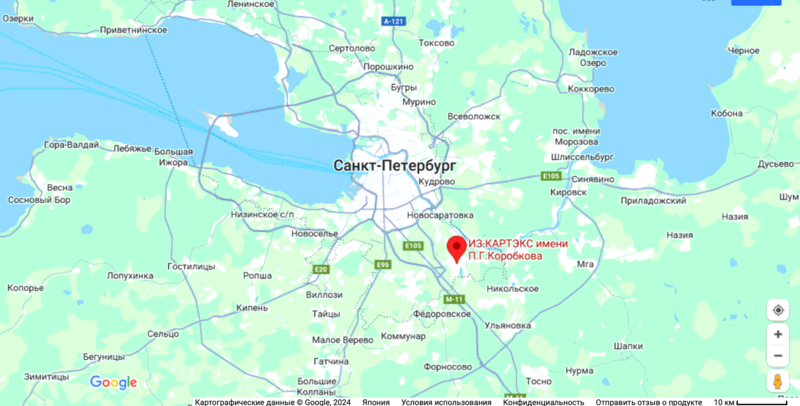
КАРТЭКС (Уралмаш) на гуглевской карте
ИЗ-КАРТЭКС имени П.Г.Коробкова
ул. Братьев Радченко, Санкт-Петербург, Россия, 196653
References
Keywords
«Anexation of Crimea», «Budapest memorandum», «Uralmash», «Uralmashzavod»,
«[[]]», «КАРТЭКС», «Уралмаш», «Уралмашзавод»,
File history
Click on a date/time to view the file as it appeared at that time.
| Date/Time | Thumbnail | Dimensions | User | Comment | |
|---|---|---|---|---|---|
| current | 18:08, 13 April 2024 |  | 1,828 × 928 (166 KB) | T (talk | contribs) | == Summary == {{oq|UralmashMap08.png|}} Уралмаш («Уралмашзавод»)(Red mark) на гуглевской карте <ref> <small> https://www.google.co.jp/maps/dir/пр.+60-летия+Октября,+21+корпус+4,+Моск... |
You cannot overwrite this file.
File usage
The following page uses this file: