File:L52.5208z39.7485mapA.jpg
Size of this preview: 729 × 599 pixels. Other resolutions: 292 × 240 pixels | 1,416 × 1,164 pixels.
Original file (1,416 × 1,164 pixels, file size: 654 KB, MIME type: image/jpeg)
Contents
Summary
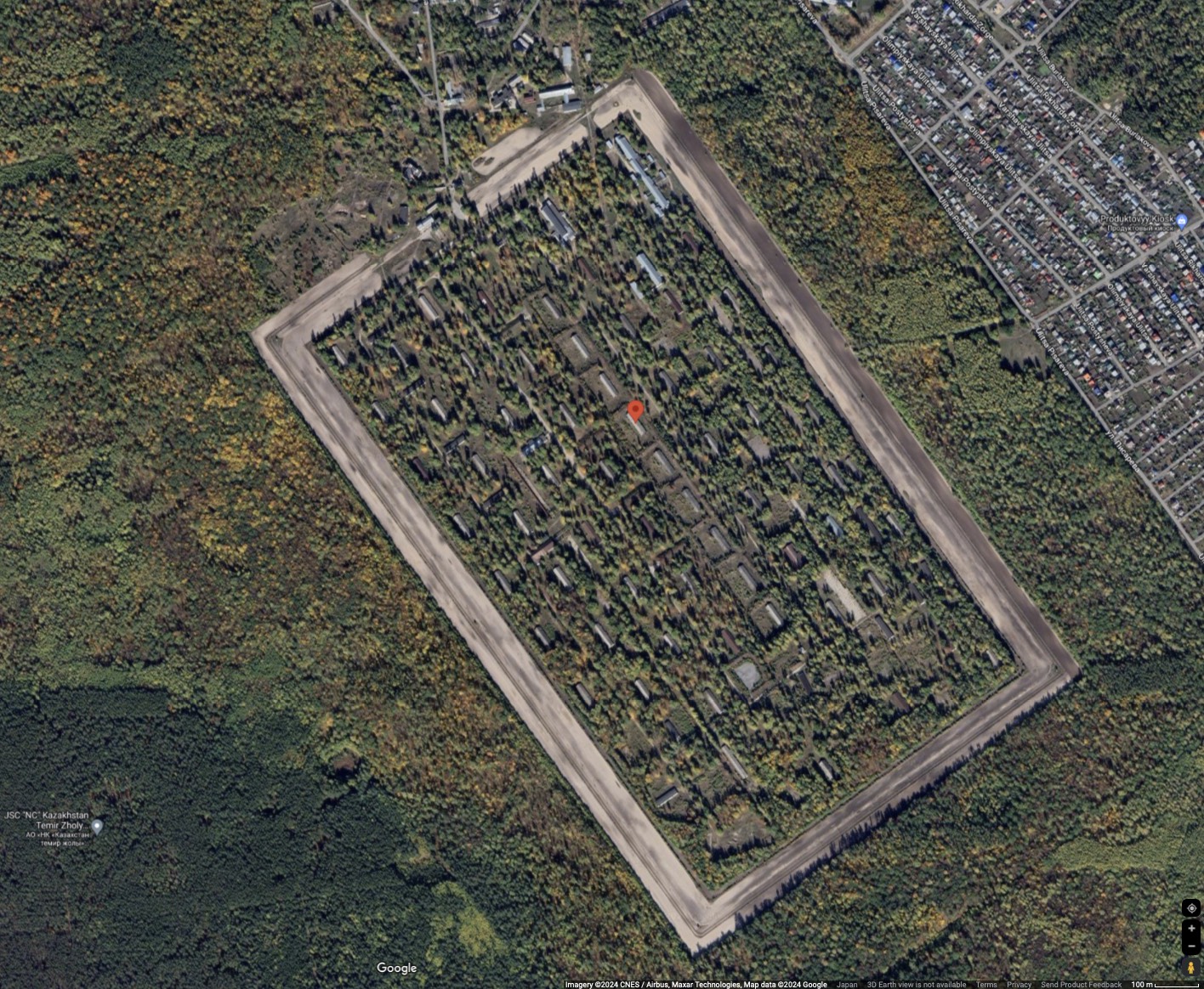
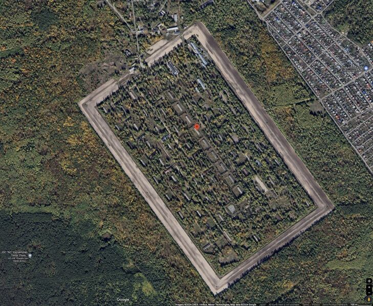
L52.5208z39.7485 by Google [1][2].
Coordinates: 52.5208, 39.7486
Other names:
260я центральная ракетная-артиллерийская база
L52.5208z39.7485 looks as an arsenal.
It will be interesting to compare the image with the similar picture captured after the bavovna at L52.5208z39.7485.
Warning
During the Putin world war, L52.5208z39.7485 is legitimate military target, that is supposed to be demilitarized and denazified at the transfer of hostilities to aggressor territory.
One has reason to stay far away from the Липецк Дачный, in order not to happen in a prompt place at its demilitarization and denazification.
References
- ↑ https://www.google.co.jp/maps/place/52°31'14.9%22N+39°44'55.0%22E/@52.5202124,39.7336011,8624m/data=!3m1!1e3!4m4!3m3!8m2!3d52.5208!4d39.7486?hl=en&entry=ttu 52°31'14.9"N 39°44'55.0"E 52.520800, 39.748600 Dachny, Lipetsk, Lipetsk Oblast, Russia GPCX+8CH Lipetsk, Russia
- ↑ https://www.google.co.jp/maps/place/52°31'14.9%22N+39°44'55.0%22E/@52.5202124,39.7336011,8624m/data=!3m1!1e3!4m4!3m3!8m2!3d52.5208!4d39.7486?hl=ru&entry=ttu 52°31'14.9"N 39°44'55.0"E 52.520800, 39.748600 Dachny, Липецк, Липецкая обл., Россия GPCX+8CH Липецк, Россия
File history
Click on a date/time to view the file as it appeared at that time.
| Date/Time | Thumbnail | Dimensions | User | Comment | |
|---|---|---|---|---|---|
| current | 03:16, 14 August 2024 | | 1,416 × 1,164 (654 KB) | T (talk | contribs) | {{oq|L52.5208z39.7485mapA.jpg|}} L52.5208z39.7485 by Google <ref> https://www.google.co.jp/maps/place/52°31'14.9%22N+39°44'55.0%22E/@52.5202124,39.7336011,8624m/data=!3m1!1e3!4m4!3m3!8m2!3d52.5208!4d39.7486?hl=en&entry=ttu 52°31'14.9"N 39°44'5... |
- You cannot overwrite this file.
File usage
The following page links to this file: