File:ColonyKeygubskaya.jpg
Size of this preview: 800 × 534 pixels. Other resolutions: 320 × 214 pixels | 1,428 × 953 pixels.
Original file (1,428 × 953 pixels, file size: 525 KB, MIME type: image/jpeg)
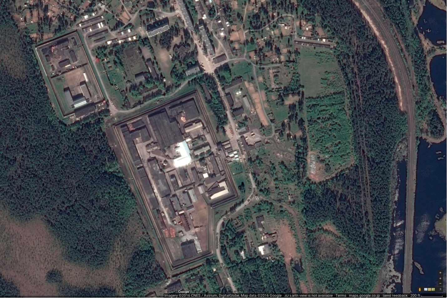
Google map at Segezhsky District, Republic of Karelia, Russia,
63.77492, 34.29728
References
https://www.google.com/maps/dir///@63.7751652,34.2950426,891m/data=!3m1!1e3
File history
Click on a date/time to view the file as it appeared at that time.
| Date/Time | Thumbnail | Dimensions | User | Comment | |
|---|---|---|---|---|---|
| current | 06:11, 1 December 2018 | | 1,428 × 953 (525 KB) | Maintenance script (talk | contribs) | Importing image file |
- You cannot overwrite this file.
File usage
The following page links to this file: