Difference between revisions of "File:Yakiyama01map.jpg"
(Importing image file) |
|||
| Line 1: | Line 1: | ||
| + | Map of Yakiyama mount (35.539 N,139.164 E) and vicinity by Google, |
||
| − | Importing image file |
||
| + | http://maps.google.com/?ll=35.591017,139.196091&spn=0.050952,0.070381&t=m&z=13&vpsrc=6 |
||
| + | |||
| + | http://maps.google.com/?ll=35.551223,139.185448&spn=0.101954,0.140762&t=m&vpsrc=6&z=12 |
||
| + | |||
| + | [[Category:Yakiyama]] |
||
| + | [[Category:Japan]] |
||
Latest revision as of 09:40, 21 June 2013
Map of Yakiyama mount (35.539 N,139.164 E) and vicinity by Google, http://maps.google.com/?ll=35.591017,139.196091&spn=0.050952,0.070381&t=m&z=13&vpsrc=6
http://maps.google.com/?ll=35.551223,139.185448&spn=0.101954,0.140762&t=m&vpsrc=6&z=12
File history
Click on a date/time to view the file as it appeared at that time.
| Date/Time | Thumbnail | Dimensions | User | Comment | |
|---|---|---|---|---|---|
| current | 17:50, 20 June 2013 | 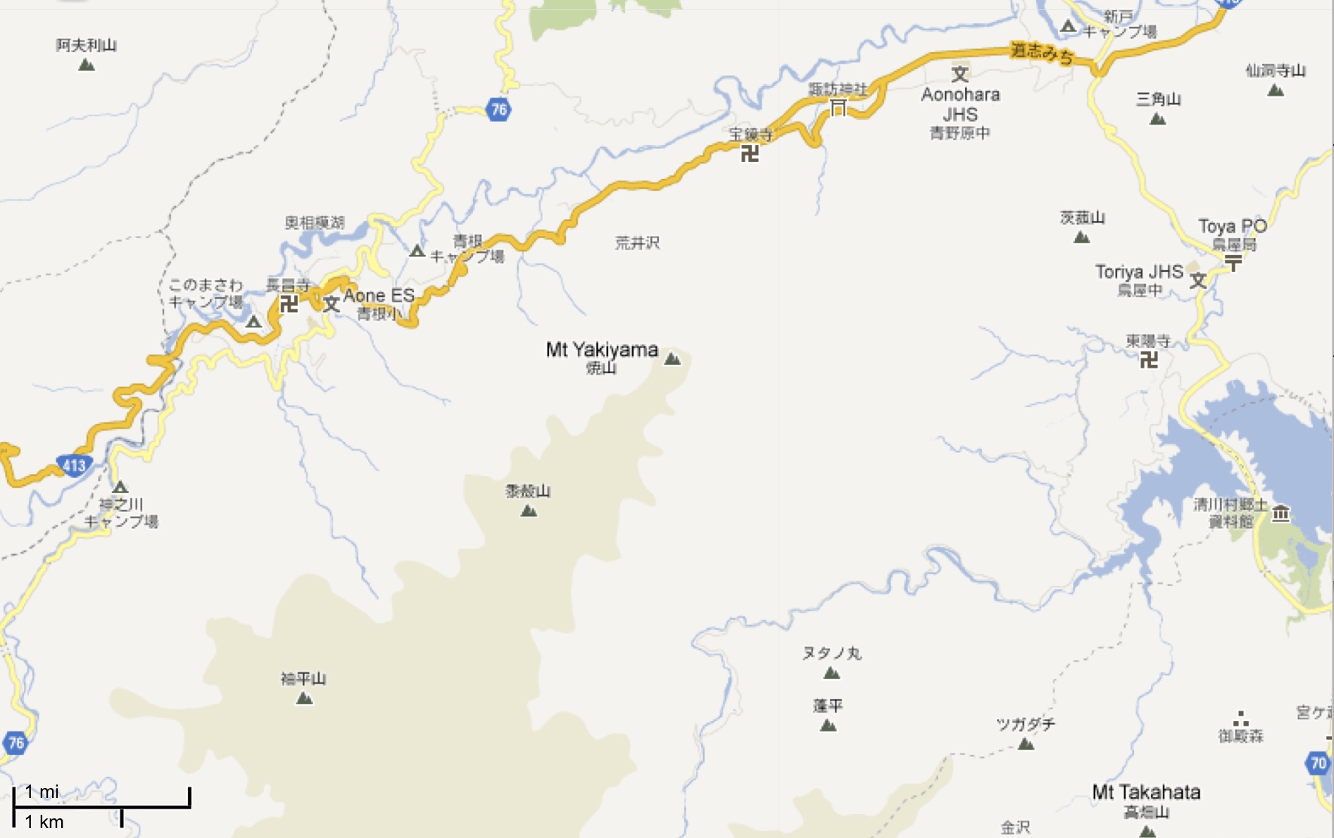 | 1,895 × 1,190 (234 KB) | Maintenance script (talk | contribs) | Importing image file |
- You cannot overwrite this file.
File usage
There are no pages that link to this file.