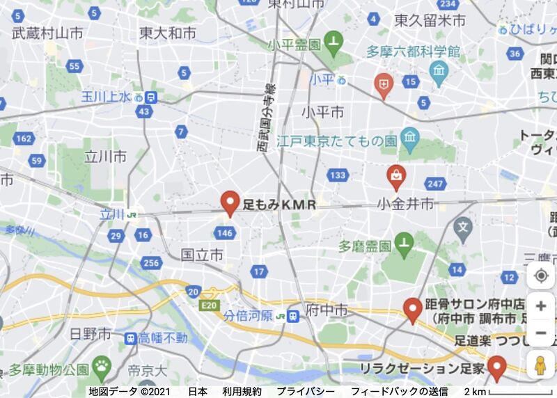
File:AshiMoMiMap.jpg

Size of this preview: 800 × 572 pixels. Other resolutions: 320 × 229 pixels | 1,009 × 722 pixels.
Original file (1,009 × 722 pixels, file size: 197 KB, MIME type: image/jpeg)
File history
Click on a date/time to view the file as it appeared at that time.
| Date/Time | Thumbnail | Dimensions | User | Comment | |
|---|---|---|---|---|---|
| current | 04:24, 31 August 2021 |  | 1,009 × 722 (197 KB) | T (talk | contribs) | AshiMoMiKMR <ref> https://www.google.co.jp/maps/place/足つぼの湧泉/@35.7358853,139.3091591,12z/data=!4m9!1m2!2m1!1z6Laz!3m5!1s0x6018efb0de88526d:0x83ebac4a2884b858!8m2!3d35.7007784!4d139.5608933!15sCgPotrNaBSID6LazkgEGc2VpdGFpmgEkQ2hkRFNVaE5NRzlu... |
- You cannot overwrite this file.
File usage
The following 2 pages link to this file: