File:SakiUkraineMap.jpg
Size of this preview: 800 × 464 pixels. Other resolutions: 320 × 185 pixels | 1,805 × 1,046 pixels.
Original file (1,805 × 1,046 pixels, file size: 141 KB, MIME type: image/jpeg)
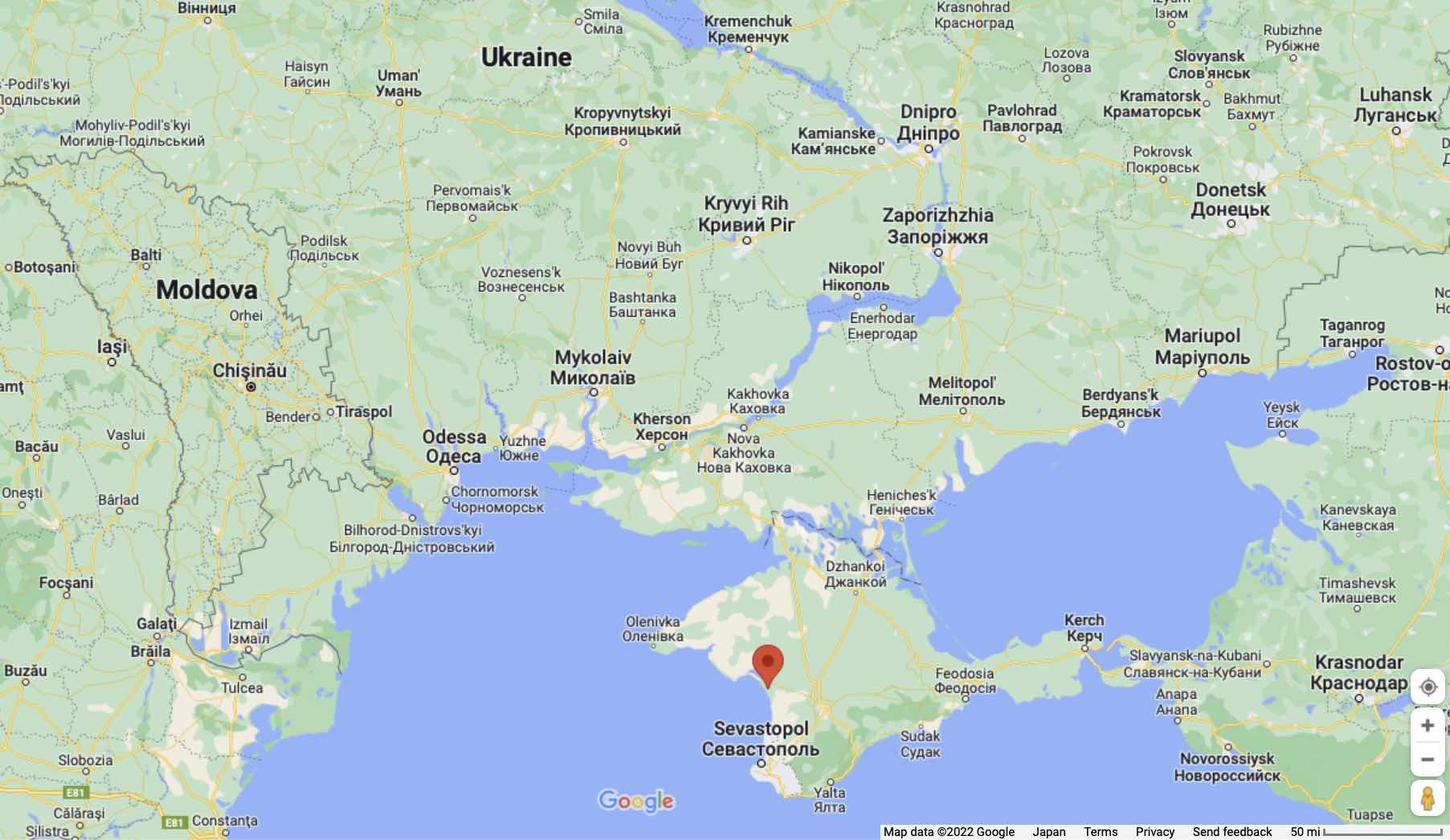
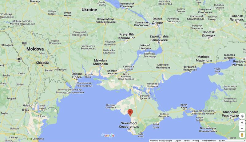
Novofedorovka airbase (Saki airbase, red mark), Saki, Crimea, Ukraine at Google map [1]
Description
Saki airbase is plundered by the Russian aggressors in 2014 and occupied by the Russian nazi (Русский мир) during 2014-2022.
It is used by the Russian fascists for genodice of the Ukrainian people, for the bombing of the Ukrainian cities and other war crimes.
2022.08.09. around noon, the 2022.08.09.SakiFirework happens: the arsenal at the Saki airbase is fired and exploded.
The Google map shows the approximate place of those explosions.
References
File history
Click on a date/time to view the file as it appeared at that time.
| Date/Time | Thumbnail | Dimensions | User | Comment | |
|---|---|---|---|---|---|
| current | 02:56, 11 August 2022 | | 1,805 × 1,046 (141 KB) | T (talk | contribs) | Saki airbase is plundered by the Russian aggressors in 2014 and occupied by the Russian nazi (Русский мир) during 2014-2022. It is used by the Russian fascists for genodice of the Ukrainian people, for the bombing of the Ukrainian c... |
- You cannot overwrite this file.
File usage
The following 2 pages link to this file: