File:Vh13140map.jpg
Size of this preview: 800 × 515 pixels. Other resolutions: 320 × 206 pixels | 1,420 × 915 pixels.
Original file (1,420 × 915 pixels, file size: 111 KB, MIME type: image/jpeg)
File history
Click on a date/time to view the file as it appeared at that time.
| Date/Time | Thumbnail | Dimensions | User | Comment | |
|---|---|---|---|---|---|
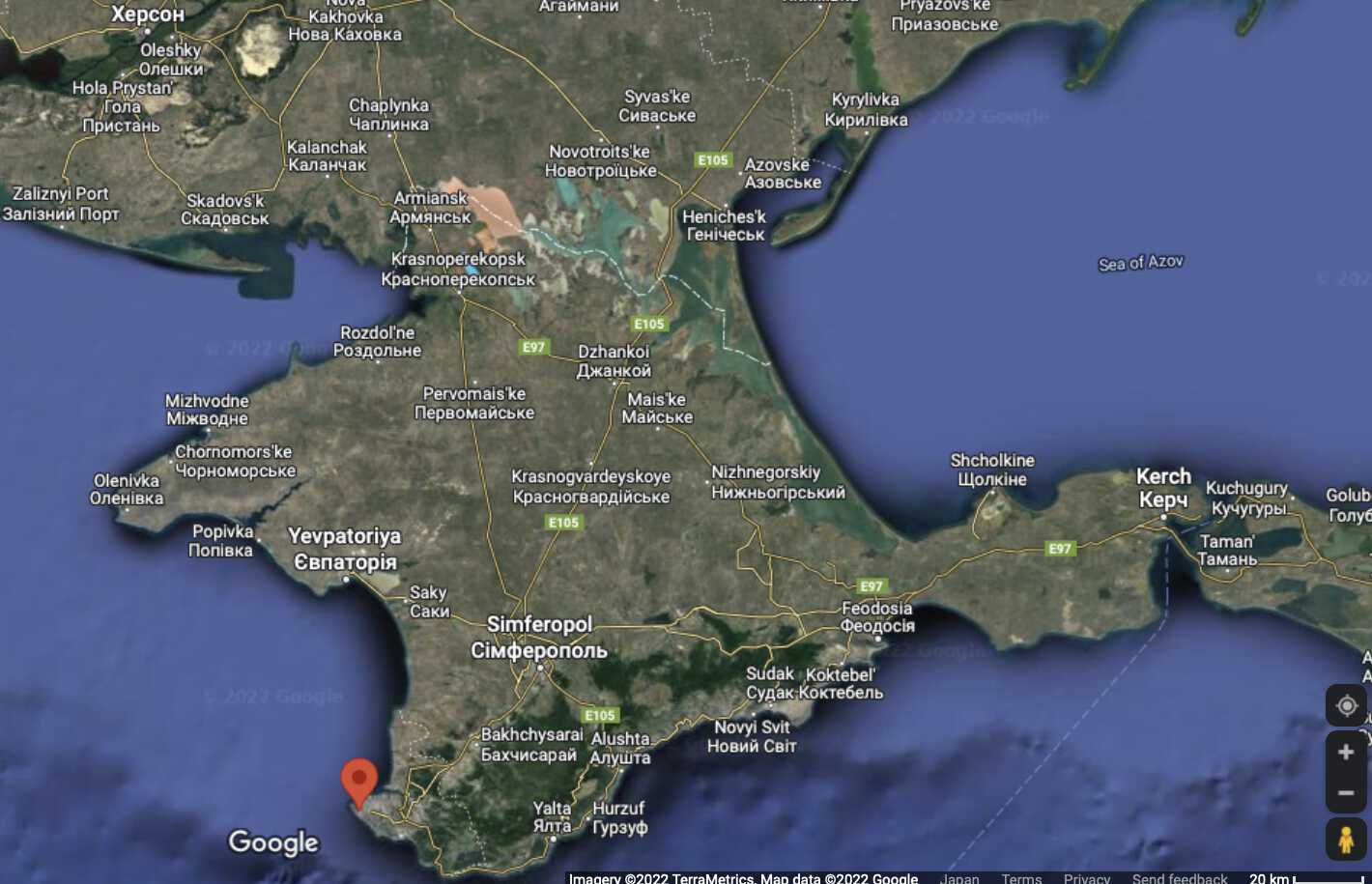
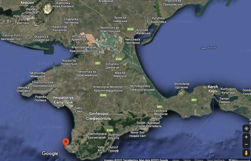
| current | 15:47, 12 November 2022 | | 1,420 × 915 (111 KB) | T (talk | contribs) | Vh13140 at the map of Crimea by Google <ref> https://www.google.com/maps/place/44°33'51.5%22N+33°25'01.6%22E/@44.6603936,33.7501078,72047m/data=!3m1!1e3!4m5!3m4!1s0x0:0x15adac4c58c916c6!8m2!3d44.5643!4d33.4171 </ref> ==References== <references/>... |
- You cannot overwrite this file.
File usage
The following 3 pages link to this file: