File:VizingaMap1.jpg

Size of this preview: 653 × 600 pixels. Other resolutions: 261 × 240 pixels | 1,129 × 1,037 pixels.
Original file (1,129 × 1,037 pixels, file size: 203 KB, MIME type: image/jpeg)
Summary
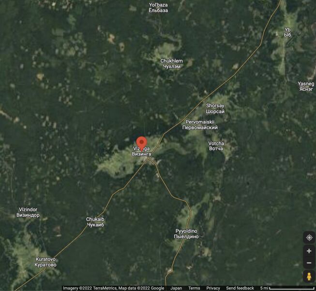
Map of Vizinga and vicinity [1]
Coordinates: 61.070, 50.112
Rederences
- ↑ https://www.google.com/maps/place/Vizinga,+Komi+Republic,+Russia,+168100/@61.1071643,49.4083542,58379m/data=!3m1!1e3!4m5!3m4!1s0x43f7f4fb03146711:0x5e6d89bd360b15d5!8m2!3d61.0752013!4d50.0795793 Vizinga Визинга Komi Republic Russia 168100 // Vizinga is a rural locality and the administrative center of Sysolsky District of the Komi Republic, Russia. Population: 6,810
File history
Click on a date/time to view the file as it appeared at that time.
| Date/Time | Thumbnail | Dimensions | User | Comment | |
|---|---|---|---|---|---|
| current | 13:58, 30 April 2022 | | 1,129 × 1,037 (203 KB) | T (talk | contribs) | Map of Vizinga and vicinity <ref> https://www.google.com/maps/place/Vizinga,+Komi+Republic,+Russia,+168100/@61.1071643,49.4083542,58379m/data=!3m1!1e3!4m5!3m4!1s0x43f7f4fb03146711:0x5e6d89bd360b15d5!8m2!3d61.0752013!4d50.0795793 Vizinga Визин... |
- You cannot overwrite this file.
File usage
The following page links to this file: