Difference between revisions of "File:SeloPloskoeMap.jpg"
| Line 1: | Line 1: | ||
| + | [[Село Плоское]] |
||
| + | <ref> |
||
| + | https://www.google.com/maps/place/Ploskoe,+Lipetsk+Oblast,+Russia,+399833/@53.6008924,28.2706098,6z/data=!4m5!3m4!1s0x4130cfd4454365e1:0xc6bb83b28f2195a!8m2!3d53.1719691!4d38.7114304 |
||
| + | Ploskoe |
||
| + | Плоское |
||
| + | Lipetsk Oblast |
||
| + | Russia |
||
| + | 399833 |
||
| + | </ref> |
||
| + | |||
| + | Coordinates: |
||
| + | |||
| + | 53.172,38.712 |
||
| + | |||
| + | ==References== |
||
| + | <references/> |
||
| + | |||
| + | [[Category:Borodin Vitali Nikolaevich]] |
||
| + | [[Category:Designate Russia as state sponsor of terrorism]] |
||
| + | [[Category:Hague]] |
||
| + | [[Category:Fascism]] |
||
| + | [[Category:KGB]] |
||
| + | [[Category:Map]] |
||
| + | [[Category:Nazism]] |
||
| + | [[Category:Nuremberg-2]] |
||
| + | [[Category:Putin world war]] |
||
| + | [[Category:Russia]] |
||
| + | [[Category:Russian invasion into Ukraine]] |
||
| + | [[Category:Russki mir]] |
||
| + | [[Category:Spisok Putina]] |
||
| + | [[Category:Transfer of hostilities to the terrorist territory]] |
||
Latest revision as of 11:20, 3 November 2022
Coordinates:
53.172,38.712
References
- ↑ https://www.google.com/maps/place/Ploskoe,+Lipetsk+Oblast,+Russia,+399833/@53.6008924,28.2706098,6z/data=!4m5!3m4!1s0x4130cfd4454365e1:0xc6bb83b28f2195a!8m2!3d53.1719691!4d38.7114304 Ploskoe Плоское Lipetsk Oblast Russia 399833
File history
Click on a date/time to view the file as it appeared at that time.
| Date/Time | Thumbnail | Dimensions | User | Comment | |
|---|---|---|---|---|---|
| current | 11:20, 3 November 2022 | 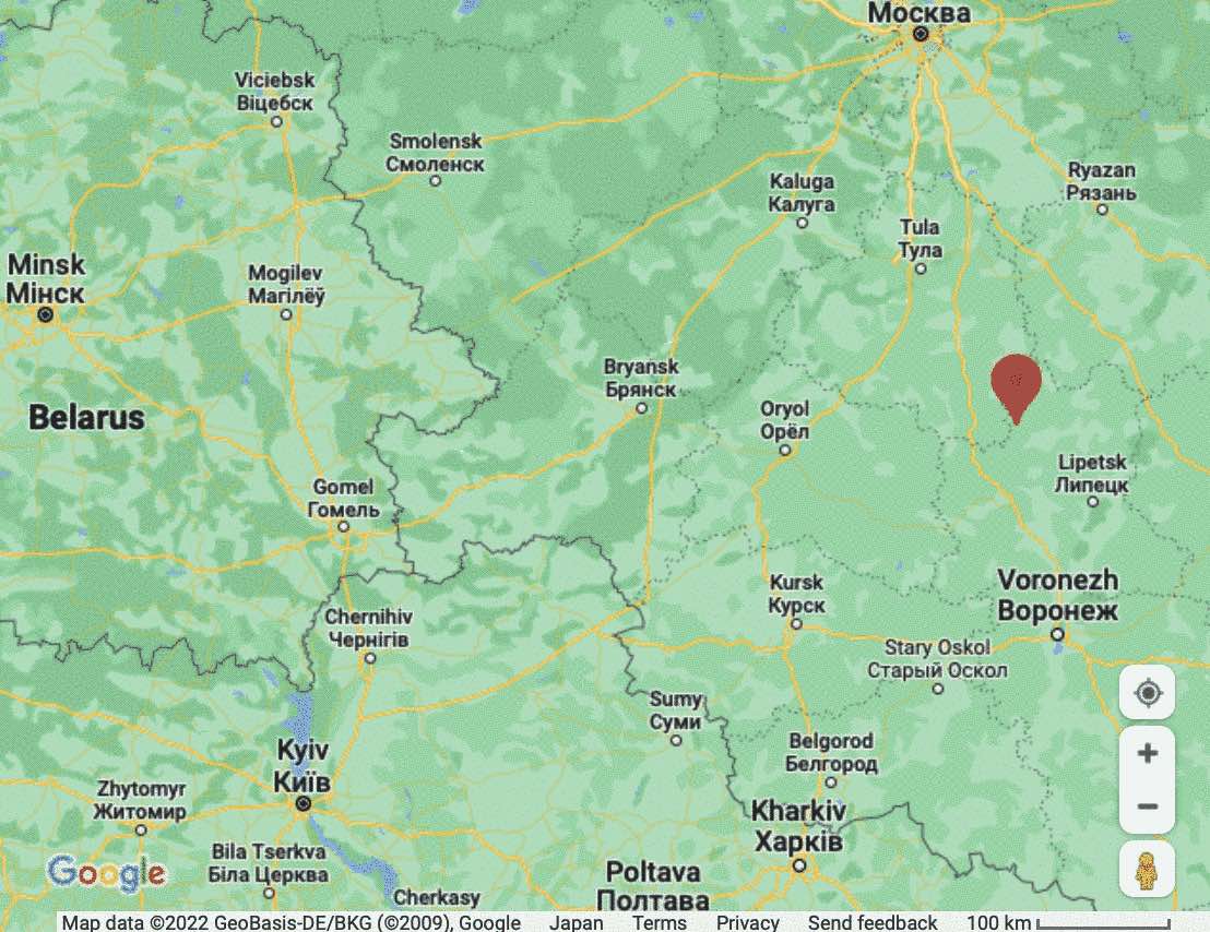 | 1,108 × 854 (119 KB) | T (talk | contribs) |
- You cannot overwrite this file.
File usage
The following page links to this file: