File:FalknisSchesaplanaMap.png
No higher resolution available.
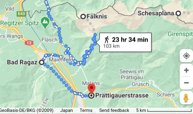
FalknisSchesaplanaMap.png (636 × 377 pixels, file size: 233 KB, MIME type: image/png)
File history
Click on a date/time to view the file as it appeared at that time.
| Date/Time | Thumbnail | Dimensions | User | Comment | |
|---|---|---|---|---|---|
| current | 12:32, 25 January 2021 | | 636 × 377 (233 KB) | T (talk | contribs) | == Summary == Map of vicinity of mounts Falknis and Schesaplana, Switzerland. References https://www.google.com/maps/dir/Schesaplana/Falknis,+7306+Triesen,+Liechtenstein/Bad+Ragaz,+Switzerland/Pr%C3%A4ttigauerstrasse,+7302+Landquart,+Swit... |
- You cannot overwrite this file.