Difference between revisions of "File:MeshaskiSudSatellite.jpg"
| Line 1: | Line 1: | ||
| + | Map <ref> |
||
| + | https://satellites.pro/Russia_map#55.778789,37.645829,19 |
||
| + | </ref> of the [[Мещанский суд]]. |
||
| + | |||
| + | Address <ref> |
||
| + | https://www.mos-gorsud.ru/rs/meshchanskij |
||
| + | Главная Мещанский районный суд |
||
| + | КОНТАКТНАЯ ИНФОРМАЦИЯ |
||
| + | 129090, г. Москва, ул. Каланчевская, д. 43А |
||
| + | </ref>: |
||
| + | Москва, ул.Каланчевская, д.43А |
||
| + | |||
| + | Coordinates: |
||
| + | 55.77879, 37.64583 |
||
| + | |||
| + | ==References== |
||
| + | <references/> |
||
| + | |||
| + | [[Category:Corruption]] |
||
| + | [[Category:Map]] |
||
| + | [[Category:Meshanski sud]] |
||
| + | [[Category:Pahanat]] |
||
| + | [[Category:Russia]] |
||
| + | [[Category:Terror]] |
||
Latest revision as of 23:57, 17 January 2020
Map [1] of the Мещанский суд.
Address [2]: Москва, ул.Каланчевская, д.43А
Coordinates: 55.77879, 37.64583
References
- ↑ https://satellites.pro/Russia_map#55.778789,37.645829,19
- ↑ https://www.mos-gorsud.ru/rs/meshchanskij Главная Мещанский районный суд КОНТАКТНАЯ ИНФОРМАЦИЯ 129090, г. Москва, ул. Каланчевская, д. 43А
File history
Click on a date/time to view the file as it appeared at that time.
| Date/Time | Thumbnail | Dimensions | User | Comment | |
|---|---|---|---|---|---|
| current | 23:57, 17 January 2020 | 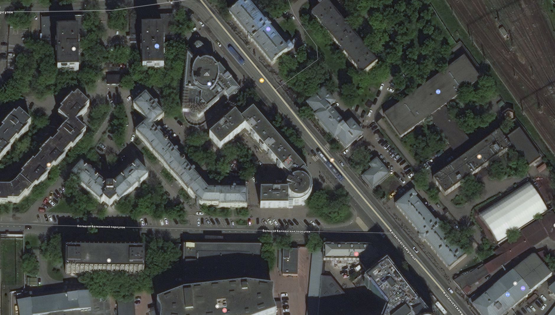 | 1,880 × 1,068 (282 KB) | T (talk | contribs) |
- You cannot overwrite this file.
File usage
There are no pages that link to this file.