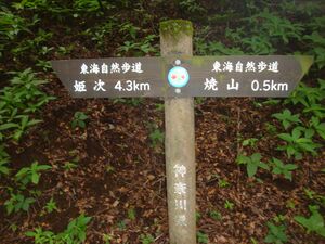
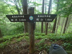
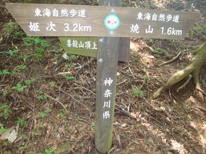
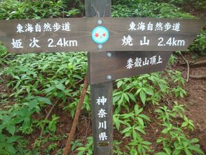
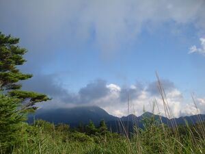
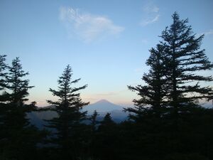
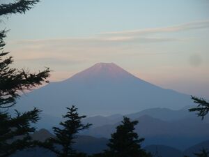
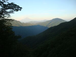
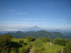
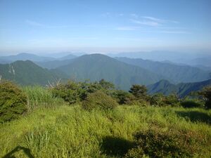
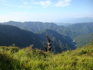
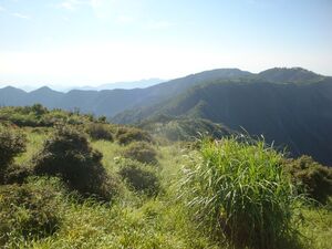
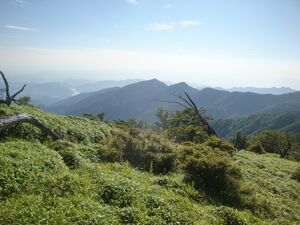
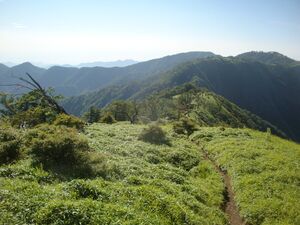
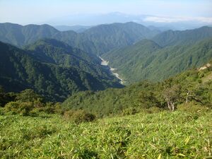
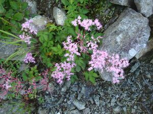
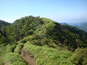
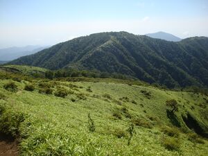
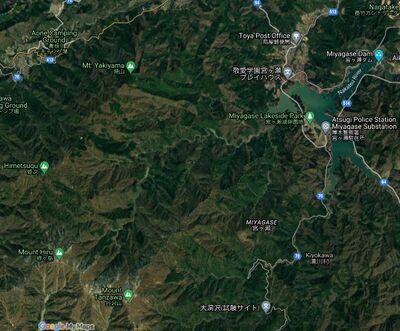
2021.07.31.Hike
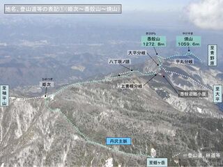
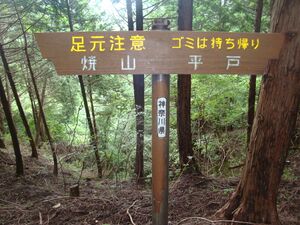
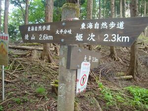
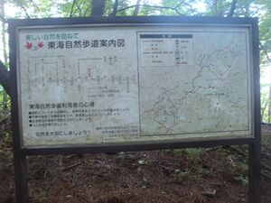
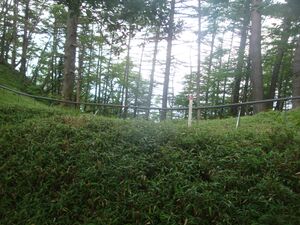
2021.07.31.Hike refers to walk from Hirado (平戸) at mount Matsutakeyama 松茸山
through months
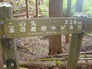
Yakiyama and Kibigara 黍
to
mount Himetsugu
and then, 2021.08.01, to
mounts
Hirudake,
Tanzawa
to Shionomizu bridge and Miyagase lake.
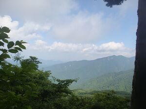
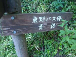
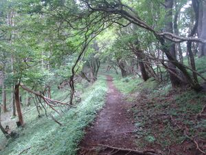
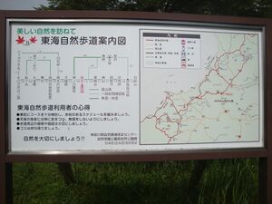
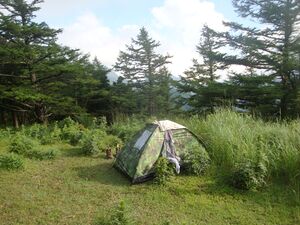
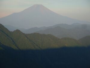
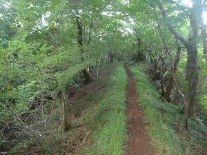
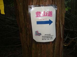
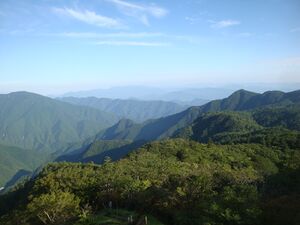
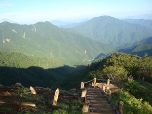
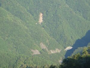
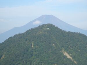
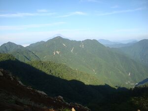
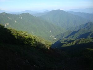
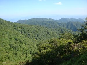
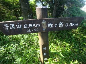
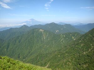
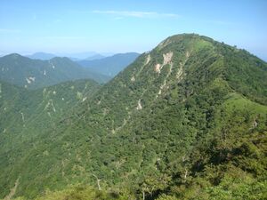
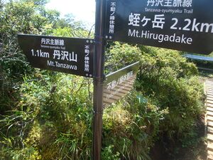
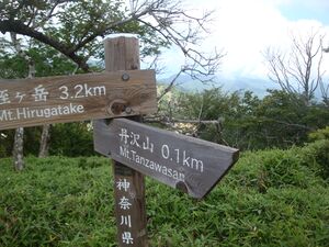
Some original pictures are loaded below.
Pics
Confusion
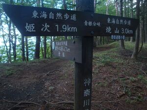
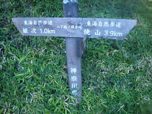
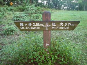
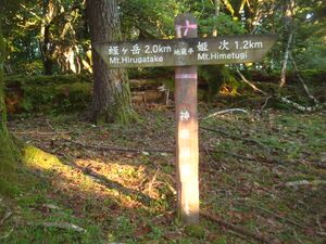
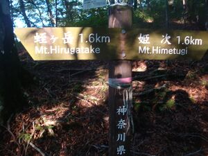
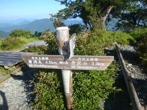
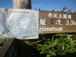
On the way, one mount, 姫次, caused confusion. It happens to have at least 3 different English spellings:
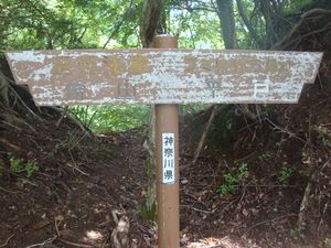
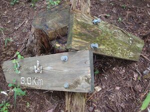
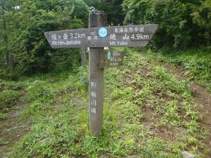
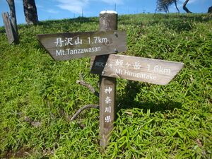
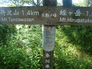
Name Himetugi appears at the boards along the trail from Himetugi to Hirugatake.
Name Himetsugi is suggested by Wikipedia [2] uses name Himetsugi: ".. Mount Himetsugi (1,433 m or 4,701 ft) .."
Name Himetsugu is suggested by Google maps [3] and the Google translation of word 姫次 [4]
All the three names refer to the same object. Attempts to "correct" some of the three spellings (or, even worse, to put the "redirect"s) should be suppressed in the most radical and categoric way.
References
- ↑ https://www.police.pref.kanagawa.jp/pdf/g0005_08.pdf 丹沢主脈 (姫次~黍殻山~焼山
- ↑ https://en.wikipedia.org/w/index.php?title=Kanagawa_Prefecture&oldid=1032063339 Kanagawa Prefecture This is the current revision of this page, as edited by FrescoBot (talk | contribs) at 09:31, 5 July 2021 (Bot: link syntax and minor changes). The present address (URL) is a permanent link to this version. // Kanagawa Prefecture (神奈川県, Kanagawa-ken) is a prefecture of Japan located in the Kantō region of Honshu.[1] Kanagawa Prefecture is the second-most populous prefecture of Japan at 9,058,094 (1 October 2015) and has a geographic area of 2,415 km2 (932 sq mi). Kanagawa Prefecture borders Tokyo to the north, Yamanashi Prefecture to the northwest and Shizuoka Prefecture to the west. // Yokohama is the capital and largest city of Kanagawa Prefecture and the second-largest city in Japan, with other major cities including Kawasaki, Sagamihara and Fujisawa.[2] Kanagawa Prefecture is located on Japan's eastern Pacific coast on Tokyo Bay and Sagami Bay, separated by the Miura Peninsula, across from Chiba Prefecture on the Bōsō Peninsula. Kanagawa Prefecture is part of the Greater Tokyo Area, the most populous metropolitan area in the world, with Yokohama and many of its cities being major commercial hubs and southern suburbs of Tokyo. Kanagawa Prefecture was the political and economic center of Japan during the Kamakura period when Kamakura was the de facto capital and largest city of Japan as the seat of the Kamakura Shogunate from 1185 to 1333. Kanagawa Prefecture is a popular tourist area in the Tokyo region, with Kamakura and Hakone being two popular side trip destinations. .. The Tanzawa Mountain Range, part of the Kantō Mountain Range, contains Mount Hiru (1,673 m or 5,489 ft), the highest peak in the prefecture. Other mountains measure similar mid-range heights: Mount Hinokiboramaru (1,601 m or 5,253 ft), Mount Tanzawa, (1,567 m or 5,141 ft), Mount Ōmuro (1,588 m or 5,210 ft), Mount Himetsugi (1,433 m or 4,701 ft), and Mount Usu (1,460 m or 4,790 ft). The mountain range is lower in height southward leading to Hadano Basin to the Ōiso Hills. At the eastern foothills of the mountain range lies the Isehara Plateau and across the Sagami River the Sagamino plateau.[9] ..
- ↑ https://www.google.com/maps/@35.5138187,139.1289496,16z (2021)
- ↑ https://translate.google.com/?sl=ja&tl=en&text=姫次%20&op=translate 姫次 Himetsugu // Translation results Himetsugu (2021)
Keywords
Japan, Himetsugi, Himetsugu, Himetugi, Hirugatake, Tanzawa, Yakiyama
