Difference between revisions of "File:05011tanzawa33.jpg"
(2021.07.31.Hike, second day, top of Hirugatake, arrows at the indication board: Mt.Hinokiboramaru 4.6km | Mt.Tanzawasan 3.3km Arrow "Himetsugi 3.3km" (and map) is seen at the next pic. Category:2021.07.31.Hike [[Category:Boa...) |
(No difference)
|
Latest revision as of 13:30, 6 August 2021
Summary
2021.07.31.Hike, second day, top of Hirugatake, arrows at the indication board:
Mt.Hinokiboramaru 4.6km | Mt.Tanzawasan 3.3km
Arrow "Himetsugi 3.3km" (and map) is seen at the next pic.
File history
Click on a date/time to view the file as it appeared at that time.
| Date/Time | Thumbnail | Dimensions | User | Comment | |
|---|---|---|---|---|---|
| current | 13:30, 6 August 2021 | 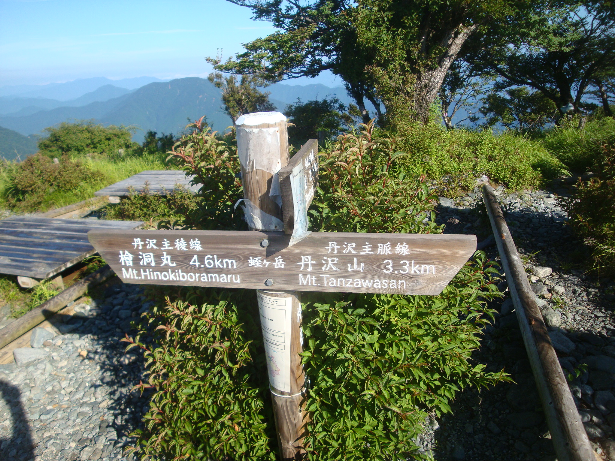 | 2,048 × 1,536 (1.36 MB) | T (talk | contribs) | 2021.07.31.Hike, second day, top of Hirugatake, arrows at the indication board: Mt.Hinokiboramaru 4.6km | Mt.Tanzawasan 3.3km Arrow "Himetsugi 3.3km" (and map) is seen at the next pic. Category:2021.07.31.Hike [[Category:Boa... |
- You cannot overwrite this file.
File usage
The following 3 pages link to this file: