File:L52.6473z39.4406map.jpg
Original file (1,856 × 1,008 pixels, file size: 283 KB, MIME type: image/jpeg)
Summary
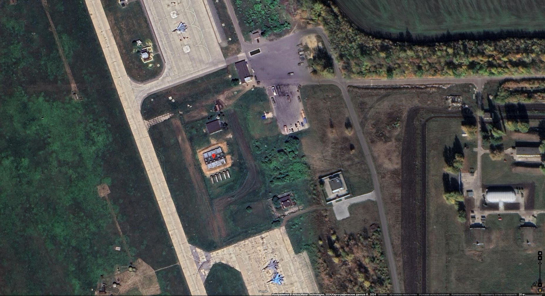
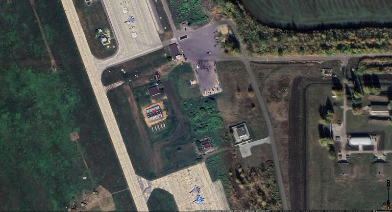
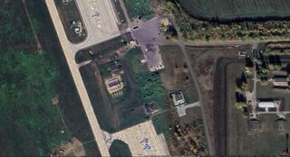
L52.6473z39.4406, element of the Lipetsk Airbase (Авиабаза Липецк) as it appears at the Google map in year 2024.
References
Keywords
«[[]]», «Annexation of Crimea», «Bavovna», «Budapest memorandum», «Demilitarization», «Denazification», «Designate Russia as state sponsor of terrorism», «Designate Russia as terrorist state», «L52.6473z39.4406», «Lipetsk», «Lipetsk Airbase», «Lz», «Moscovia», «Pahanat», «Putin world war», «Russian invasion into Ukraine», «Russki mir», «Transfer of hostilities to aggressor territory»,
«А нас то за что», «Авиабаза Липецк», «Аннексия Крыма», «Бавовна», «Будапештский меморандум», «Вертикаль власти», «[[]]», «Демилитаризация», «Денацификация», «[[]]», «Московия», «Новый Мировой Порядок», «Паханат», «[[]]», «Перенос боевых действий на территорию страны агрессора», «Путинская мировая война», «[[]]», «Российское вторжение в Украину», «Русский мир», «Спецоперация»,
File history
Click on a date/time to view the file as it appeared at that time.
| Date/Time | Thumbnail | Dimensions | User | Comment | |
|---|---|---|---|---|---|
| current | 00:49, 12 August 2024 | | 1,856 × 1,008 (283 KB) | T (talk | contribs) | == Summary == {{oq|L52.6473z39.4406map.jpg|}} L52.6473z39.4406, element of the Lipetsk Airbase (Авиабаза Липецк) as it appears at the Google map in year 2024. ==References== {{ref}} https://www.google.co.jp/maps/place/52°38'... |
You cannot overwrite this file.
File usage
The following page uses this file:
- Airbase
- Annexation of Crimea
- Bavovna
- Budapest memorandum
- Demilitarization
- Denazification
- Designate Russia as state sponsor of terrorism
- Designate Russia as terrorist state
- Lipetsk Airbase
- L52.6473z39.4406
- Lz
- Moscovia
- Pahanat
- Putin world war
- Russian invasion into Ukraine
- Russki mir
- Target
- Transfer of hostilities to aggressor territory