File:Vh29760map.jpg
Summary
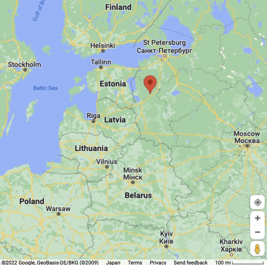
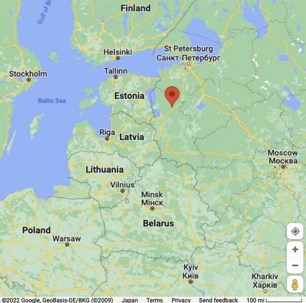
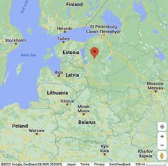
Вч 29760 на карте центральной Европы [1]
Address: Псковская область, Струго-Красненский район, местечко Владимирский Лагерь 4.
Coordinates: 58.2063,29.0666
References
Keywords
«[[]]», «Annexation of Crimea», «Budapest memorandum», «Designate Russia as state sponsor of terrorism», «Designate Russia as terrorist state», «Cnnon fodder», «Corruption», «Fascism», «Map», «Moscovia», «Pahanat», «Putin world war», «Russia», «Russian invasion into Ukraine», «Russki mir», «Target», «Transfer of hostilities to aggressor territory», «Vh29760», «War crime»,
«А нас то за что», «Аннексия Крыма», «Будапештский меморандум», «[[]]», «Вч 29760», «Московия», «Паханат», «Путинская мировая война», «Российское вторжение в Украину», «Русский мир», «Санитарная зона», «Фашизм»,
File history
Click on a date/time to view the file as it appeared at that time.
| Date/Time | Thumbnail | Dimensions | User | Comment | |
|---|---|---|---|---|---|
| current | 11:22, 28 August 2024 | | 936 × 927 (111 KB) | T (talk | contribs) | == Summary == {{oq|Vh29760map.jpg|}} Вч 29760 на карте центральной Европы <ref> https://www.google.com/maps/place/58°12'22.7%22N+29°03'59.8%22E/@56.2122468,24.1150602,6.06z/data=!4m5!3m4!1s0x0:0xa75bc913105ce2cc!8m2!3d5... |
- You cannot overwrite this file.
File usage
The following page links to this file: