File:Vh26221mapper1800x1014.jpg
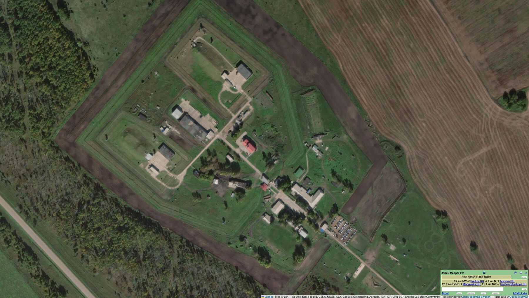
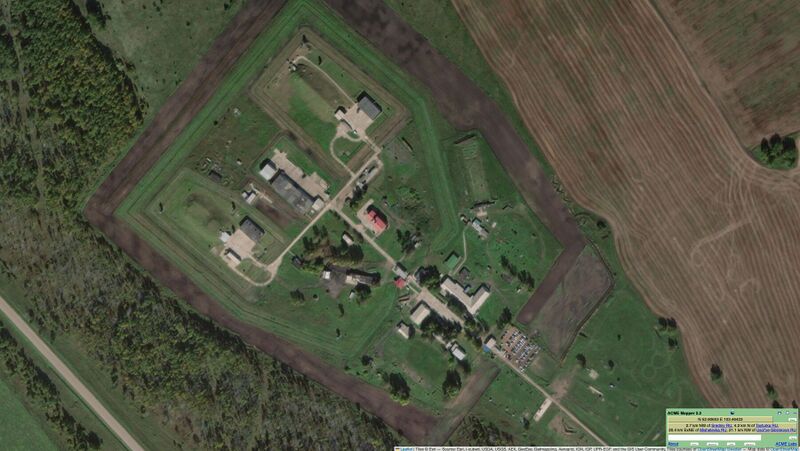
Revision as of 02:16, 5 June 2025 by T (talk | contribs) (== Summary == {{oq|Vh26221mapper1800x1014.jpg|}} Vh26221 (Вч 26221) by Mapper Coordinates: 52.90651,103.46428 Vh26221 is considered as part of BelayaAirbase ==References== {{ref}} https://mapper.acme.com/?ll=52.90651,103.46428&z=18&t=SL&marker0=52.91500%2C103.57500%2CBelaya%20air%20base {{fer}} ==Keywords== «[[]]», «Annexation of Crimea», «Bavovna», <b>«BelayaAirbase»</b>, «Dvizhuha», «Moscovia», «[[]]», «Pahanat», «Putin world war», «[[Ru...)
Size of this preview: 800 × 451 pixels. Other resolutions: 320 × 180 pixels | 1,800 × 1,014 pixels.
Original file (1,800 × 1,014 pixels, file size: 284 KB, MIME type: image/jpeg)
Summary
Keywords
«[[]]», «Annexation of Crimea», «Bavovna», «BelayaAirbase», «Dvizhuha», «Moscovia», «[[]]», «Pahanat», «Putin world war», «Russian invasion into Ukraine», «Pahanat», «Vh26221»,
«А нас то за что», «Авиабаза Белая», «[[]]», «Аннексия Крыма», «Бавовна», «Будапештский меморандум», «Вертикаль власти», «Вч 26221», «Движуха», «Московия», «Перенос боевых действий на территорию станы агрессора», «План Зевс», «Путинская мировая война», «[[]]»,
File history
Click on a date/time to view the file as it appeared at that time.
| Date/Time | Thumbnail | Dimensions | User | Comment | |
|---|---|---|---|---|---|
| current | 02:16, 5 June 2025 | | 1,800 × 1,014 (284 KB) | T (talk | contribs) | == Summary == {{oq|Vh26221mapper1800x1014.jpg|}} Vh26221 (Вч 26221) by Mapper Coordinates: 52.90651,103.46428 Vh26221 is considered as part of BelayaAirbase ==References== {{ref}} https://mapper.acme.com/?ll=52.90651,103.46428&z=18&t=SL&marker0=52.91500%2C103.57500%2CBelaya%20air%20base {{fer}} ==Keywords== «[[]]», «Annexation of Crimea», «Bavovna», <b>«BelayaAirbase»</b>, «Dvizhuha», «Moscovia», «[[]]», «Pahanat», «Putin world war», «[[Ru... |
You cannot overwrite this file.
File usage
The following page uses this file: