File:BorisoglebskoyeAirfieldKazanMap.jpg
Size of this preview: 742 × 600 pixels. Other resolutions: 297 × 240 pixels | 990 × 800 pixels.
Original file (990 × 800 pixels, file size: 152 KB, MIME type: image/jpeg)
Summary
Keywords
«Annexation of Crimea», «Borisoglebskoye Airfield», «[[]]», «Budapest memorandum», «[[]]», «Designate Russia as state sponsor of terrorism», «Designate Russia as state», «[[]]», «Kazan», «Kazan Airbase», «Moscovia», «Pahanat», «Putin world war», «Russian invasion into Ukraine», «Russki mir», «Transfer of hostilities to aggressor territory»,
File history
Click on a date/time to view the file as it appeared at that time.
| Date/Time | Thumbnail | Dimensions | User | Comment | |
|---|---|---|---|---|---|
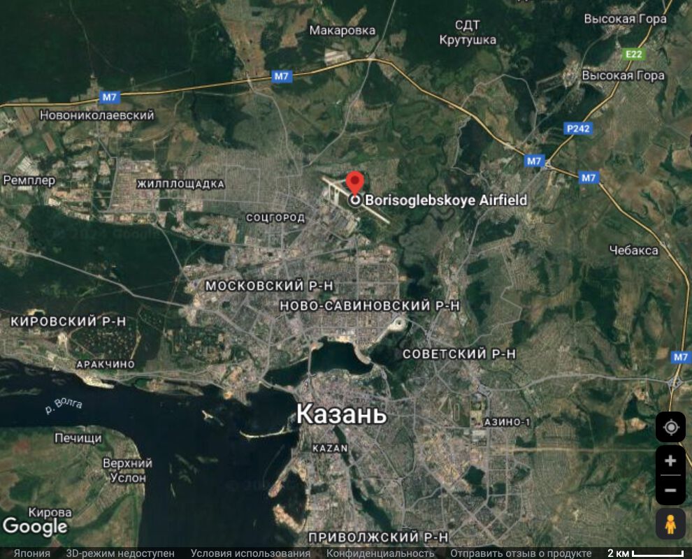
| current | 00:09, 30 August 2024 | | 990 × 800 (152 KB) | T (talk | contribs) | == Summary == {{oq|BorisoglebskoyeAirfieldKazanMap.jpg|}} Borisoglebskoye Airfield (Kazan Airbase) and Kazan at the Google map ==References== {{ref}} {{fer}} ==Keywords== «Annexation of Crimea», «Borisoglebskoye Airfield»,... |
- You cannot overwrite this file.
File usage
The following page links to this file: